The Carpathians
Map: The Carpathians
Explore cities
Pick a city and start exploring places, food, and experiences.


Where to go in The Carpathians


Where to stay in The Carpathians



Where to eat in The Carpathians

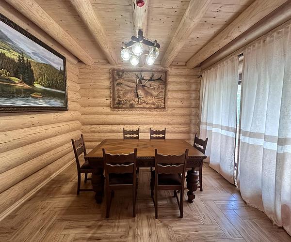
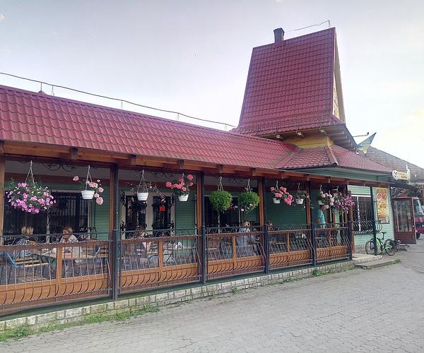


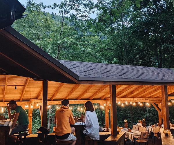
Ukraine has six mountains above 2,000 metres and all six stand on the same ridge. Hoverla (2,061 m), Brebeneskul, Pip Ivan, Petros, Hutyn Tomnatyk and Rebra are strung along the Chornohora, close enough together to walk end to end in two or three days, which is why almost every first trip to the Carpathians finishes there. It also explains why so many second trips go somewhere else entirely.
The range runs about 280 kilometres inside Ukraine, a hundred-odd kilometres across at its widest, more than 24,000 square kilometres in all, spread over four oblasts — Zakarpattia, Lviv, Ivano-Frankivsk and Chernivtsi. Nobody plans a trip to the Carpathians. You plan a trip to one part of them, and the parts have very little in common.
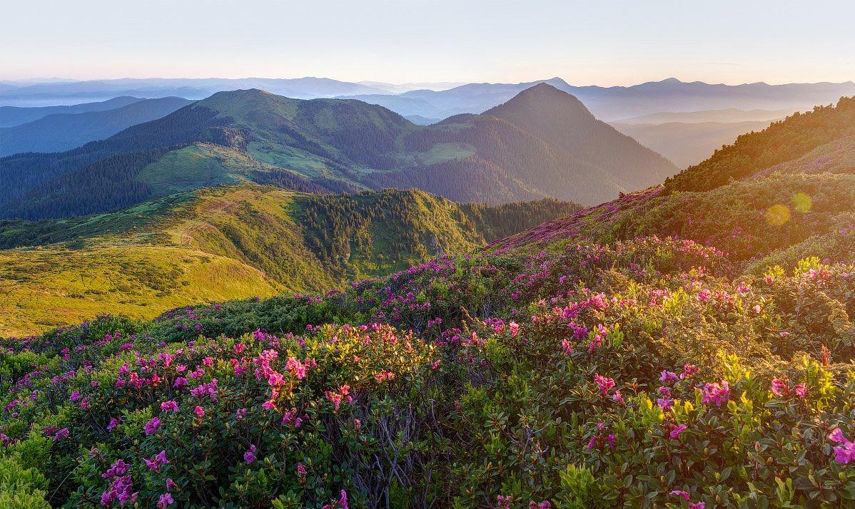
Which Carpathians do you mean
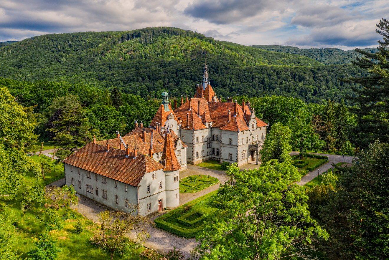
The Beskyds in the north-west are the soft end of the range: low forested ridges, wide valleys, old railway towns like Skole, and walking that asks nothing of you. The Gorgany are the opposite — fields of loose scree and thickets of dwarf pine that turn a nine-kilometre day into a long one. Svydovets and Chornohora carry the polonyny, the high summer pastures above the treeline where herders still bring cattle up. The Marmarosh massif and the Chyvchyny, pressed against the Romanian border, are the emptiest ground in the country. Out west the Volcanic ridge averages 600 to 700 metres: barely mountains, more a country of vineyards, thermal water and castles.
The choice matters more than the month does. Gorgany scree is not a family outing. The Volcanic ridge is not where you go for a summit. Dzembronia under Chornohora and Slavske in the Beskyds are both ‘the Carpathians’, and you would never mistake a week in one for a week in the other.
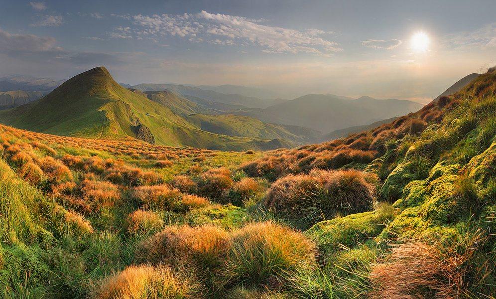
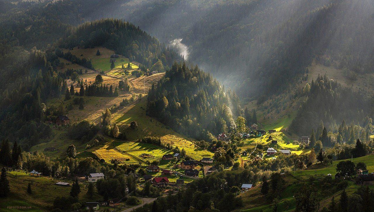
Water, forest, polonyna
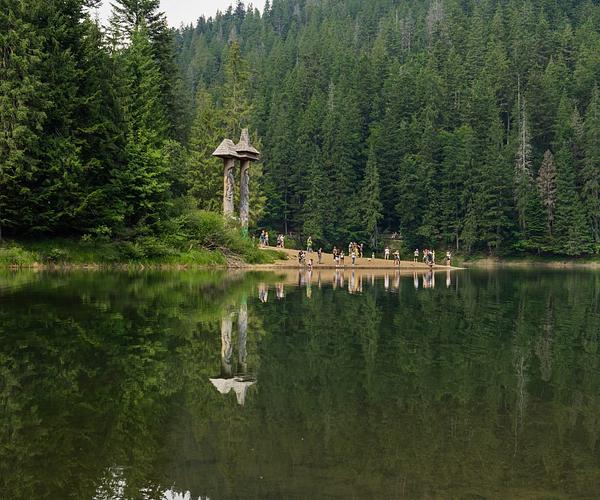
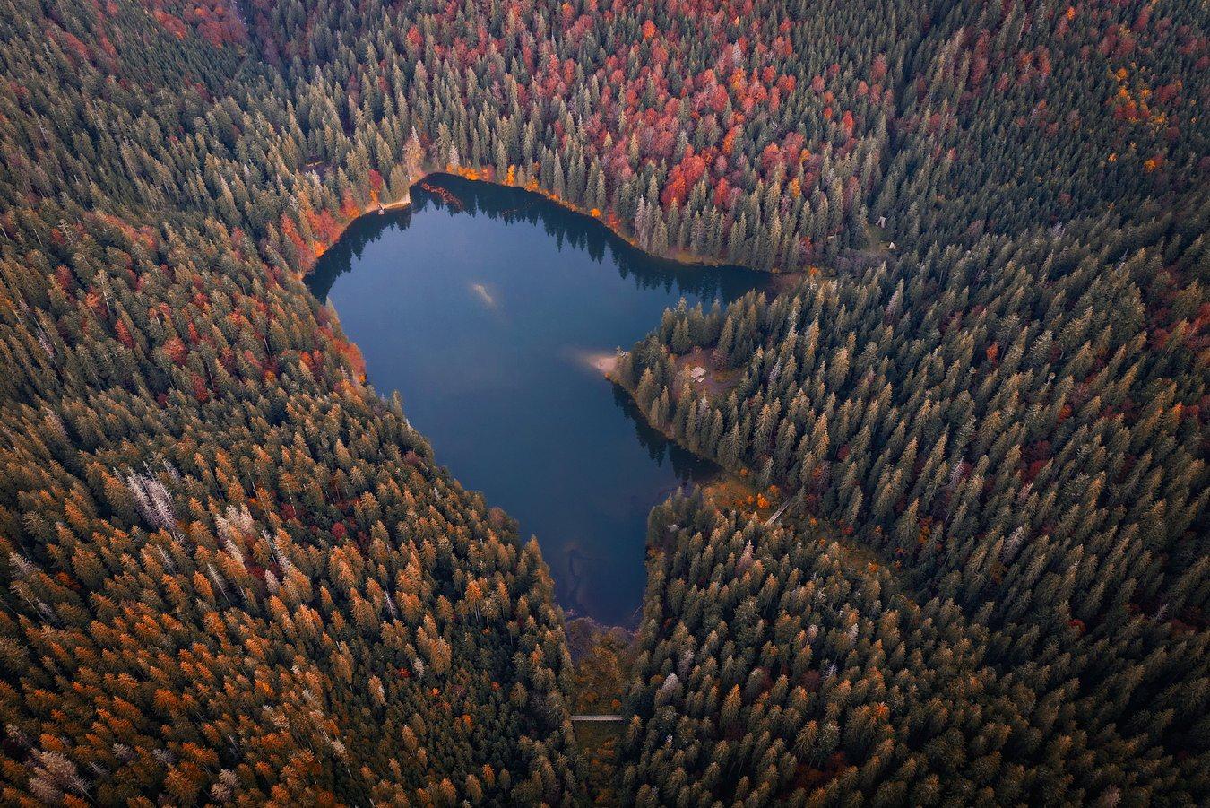
Four rivers of consequence rise here — the Tysa, the Prut, the Siret and the Dnister — along with thousands of streams and the mineral springs locals call burkuty. Synevyr, held in a spruce basin by an old landslide, is the lake everyone photographs; Brebeneskul, in a glacial cirque at 1,801 metres, is the highest in the country and a far harder day out. Waterfalls are the standard single-day objective: Shypit above Pylypets, Zhenetskyi Huk, Probii in the middle of Yaremche.
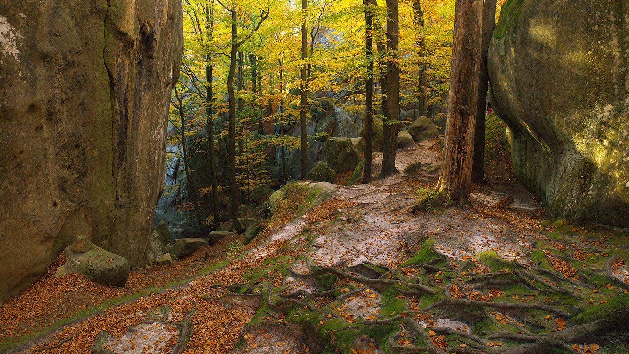
The forest is the real asset. Beech, spruce, fir and oak on the slopes, subalpine meadow and krummholz above them. The primeval beech stands at Uholka–Shyrokyi Luh, 11,860 hectares of them, are on the UNESCO World Heritage list and form the largest Ukrainian part of it. Brown bear, lynx and wolf live in these woods in numbers unusual for Europe. You will not see them. You may well see their prints.
Hutsuls, Boykos and Lemkos
Three highland cultures divide the range roughly east to west, and the difference shows in the churches, the embroidery and the food long before anyone explains it. Verkhovyna is the working centre of Hutsul country; Kolochava, over in Zakarpattia, has built ten museums out of its own past.
The built landscape is stranger than a list of sights suggests. The stone railway viaduct at Vorokhta was thrown over the Prut in 1894–95 under Austria-Hungary, runs to more than 130 metres and still carries trains. Tustan's timber fortress is gone, leaving sockets cut into the cliff. And on the summit of Pip Ivan sits the gutted shell of the Bily Slon observatory, built between 1936 and 1938 for the Polish air-defence league and in use for barely a year before the war ended it.
Where to base yourself, and when
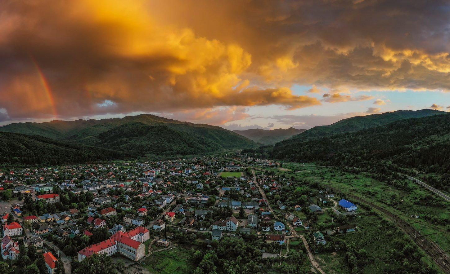
Yaremche and Vorokhta sit on the main road and the railway with trailheads close by — the obvious first base. Tatariv, Yablunytsia and Mykulychyn are chosen for logistics and bed count. Verkhovyna is for people who came for the culture rather than the altitude. Kosiv, Sheshory and Shepit trade infrastructure for craft markets, waterfalls and quiet. Kolochava and Synevyrska Poliana are the Zakarpattia alternative — further from everything, and better for it.
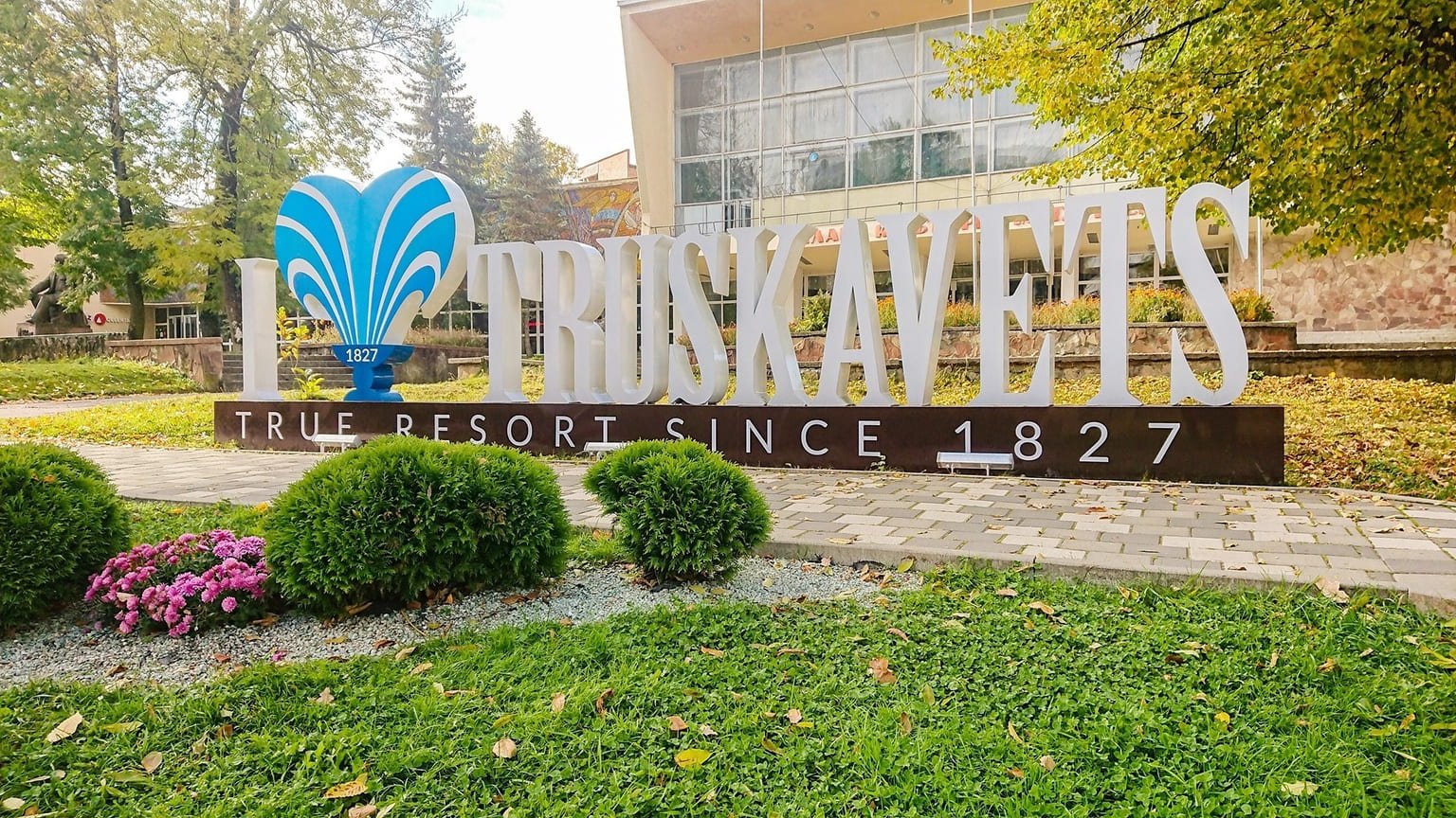
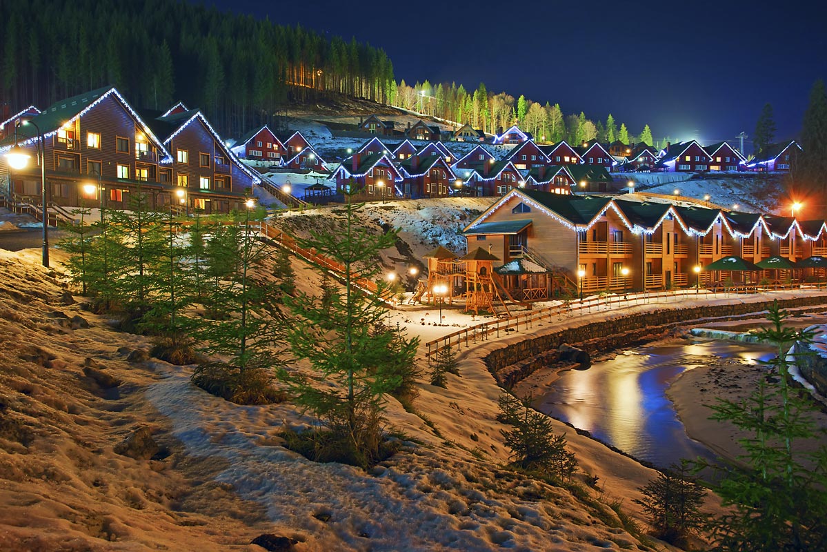
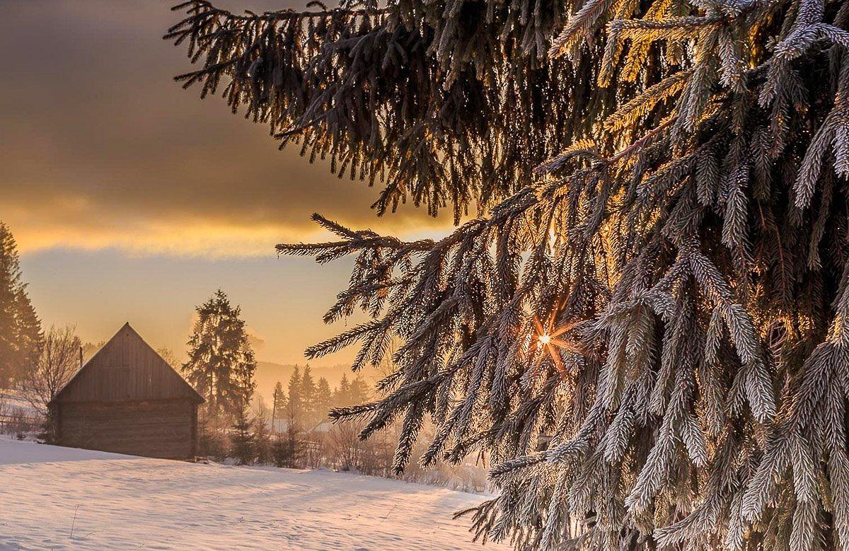
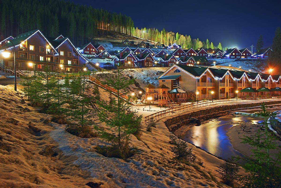
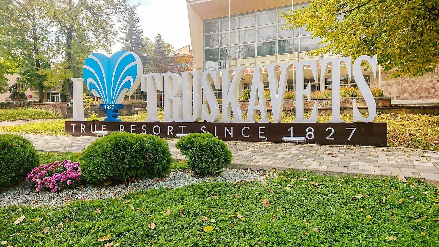
Summer is for ridges, rivers and berries; September and October are the pick if you dislike crowds, with the beech turning. Winter belongs to Bukovel, which is expensive and books out months ahead, and to Dragobrat, Pylypets, Plai, Slavske and Vorokhta, which are neither. Spring is thin — mud, meltwater, closed lifts — unless you are heading for the spa towns, Morshyn, Truskavets and Skhidnytsia, which run all year on mineral water. Two nights buys you one valley and one summit. A week lets you cross a massif.
Before you walk up
Registering a mountain route with the emergency service is required, not advisory — an online form on the regional DSNS site, or the ‘Rescue in the Mountains’ app. In the first months of 2026 alone, mountain rescuers brought 89 people down, ten of them children.
The southern edge of the range is controlled border zone. Entering the five-kilometre strip along the Romanian frontier takes a written permit from the local border detachment, submitted a day ahead at minimum, and that catches the Chornohora approaches from Dzembronia, Bystrets, Krasnyk and Iltsi, as well as Pip Ivan Marmaroskyi from Dilove. Oblast military administrations have also closed some summits outright, and the lists get revised, so check the current one rather than an old trip report. Hoverla has stayed open throughout. Bring ID, and, if you are a man of call-up age, your military registration document. Air-raid alerts reach the mountains like everywhere else, and the resorts have run through every winter of the war.