Verkhovyna
Map: Verkhovyna
The film most often used to explain the Hutsuls to everybody else was shot a few kilometres upriver from Verkhovyna’s main street. Sergei Parajanov spent 1963 and 1964 in Kryvorivnia making Shadows of Forgotten Ancestors, from a novella Mykhailo Kotsiubynsky had written after two summers in the same village, in 1910 and 1912. Kryvorivnia had been collecting writers for a generation by then — Franko, Hrushevsky, Hnatiuk, Lesia Ukrainka — enough of them to earn it the nickname the Ukrainian Athens.
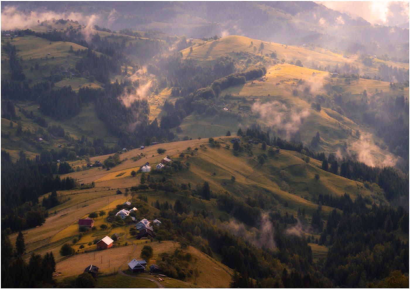
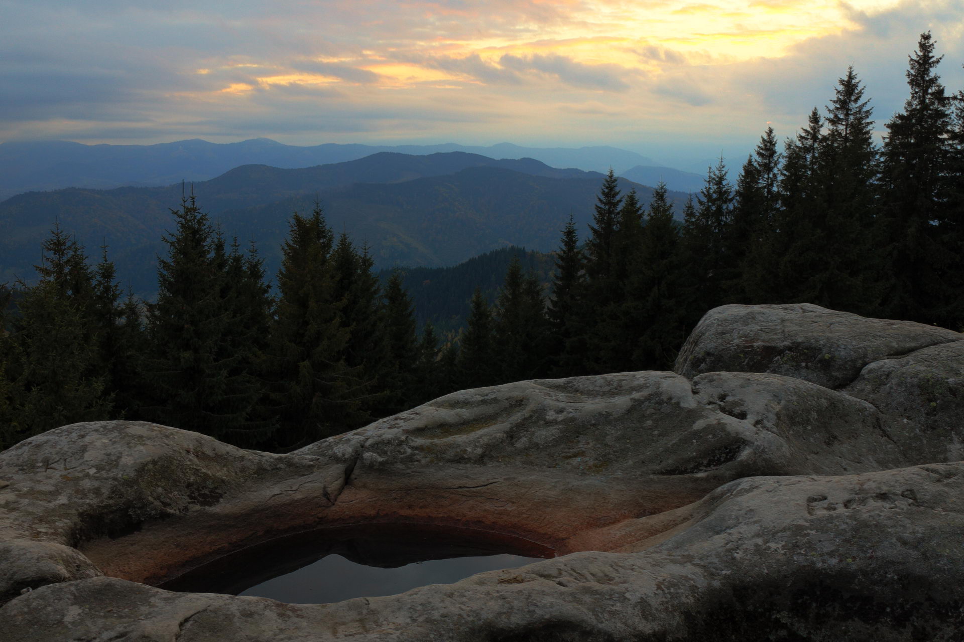
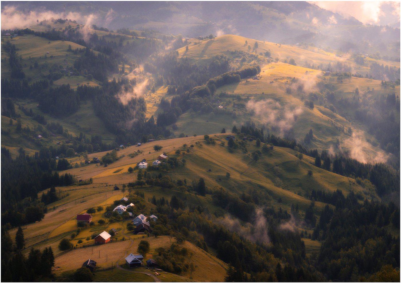
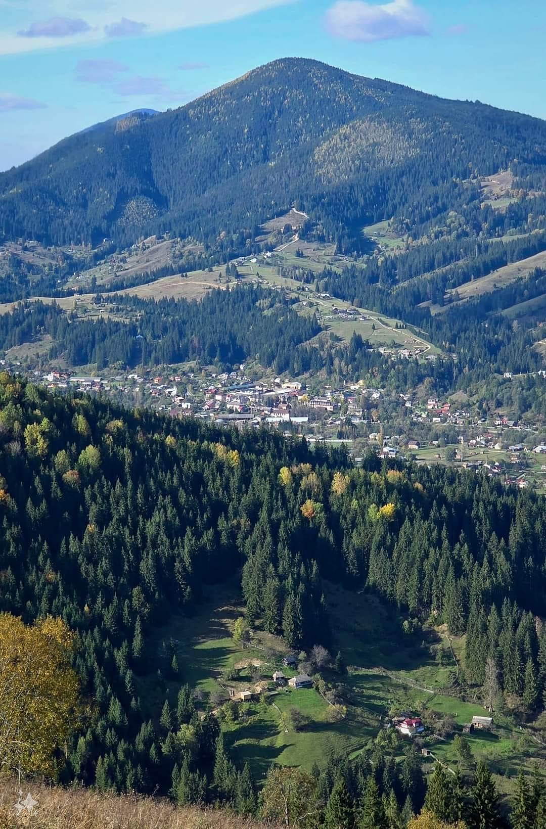
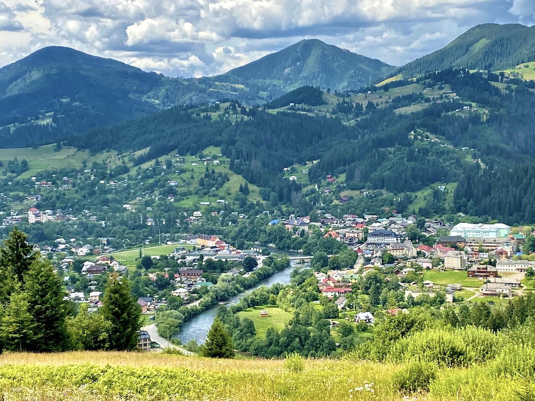
That is the argument for this valley over the next one. Verkhovyna sits at about 620m on the Chornyi Cheremosh with Chornohora and the Gorgany closing in, and the culture here is not a floor show: it is in the music, the dialect, the feast days and the cheese. What it is not is a resort. One drag lift, no queues, and a road in that puts off the casual.
Zhabie, and the men in the woods
Until 1962 the place was called Zhabie, and that is the name in the older books; Franko called Zhabie the Hutsul capital. The first written mention is 1424, when the Lithuanian prince Švitrigaila granted it to a local man, Vlad Drahosymovych. After the first partition of Poland in 1772 the valley became Austrian.
Pressure on the highlanders fed the opryshky, the outlaw bands of the eighteenth century, and this is Oleksa Dovbush country. The First World War put Zhabie in the line of fire; a Hutsul uprising followed in 1920. The rename of 1962 settled the maps; Zhabie is still the name in the literature.
The museum you can hear
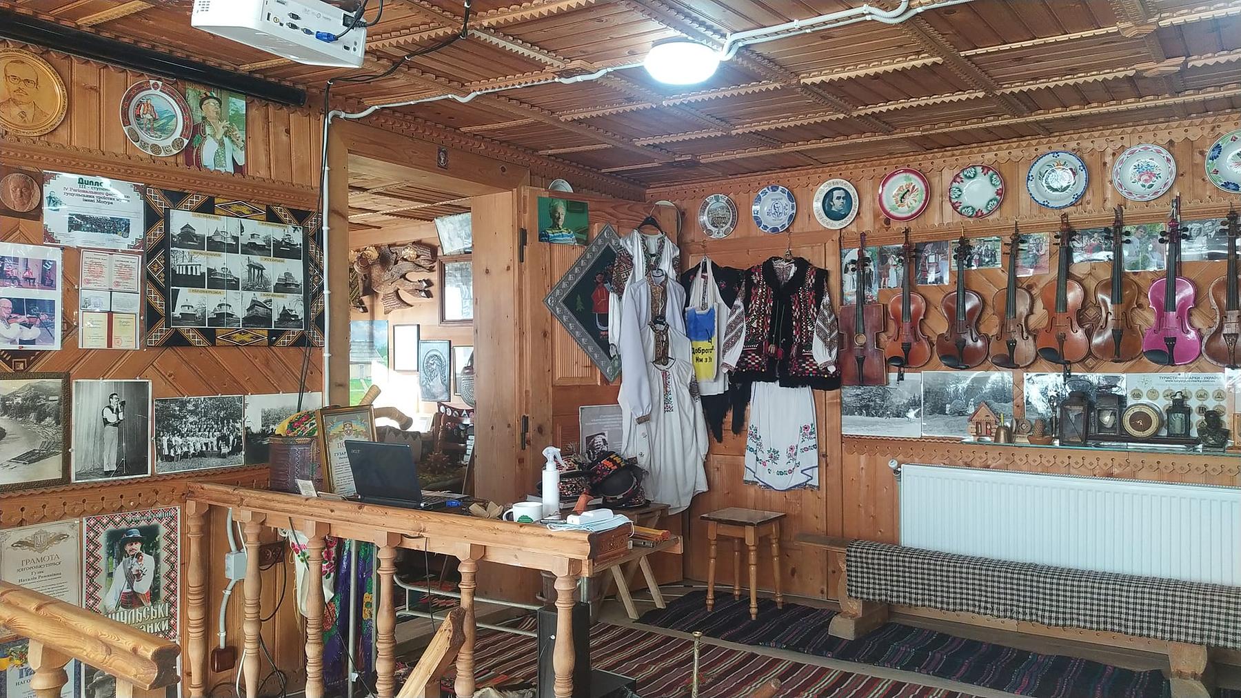
Start with Roman Kumlyk’s museum of Hutsul instruments on vul. Ivana Franka. The trembita, the drymba, the tsymbaly and the skrypka-dovbanka — a fiddle hollowed from one block of wood — are not under glass: they get played, and the visit turns into a short concert. Visits are by arrangement; phone first.
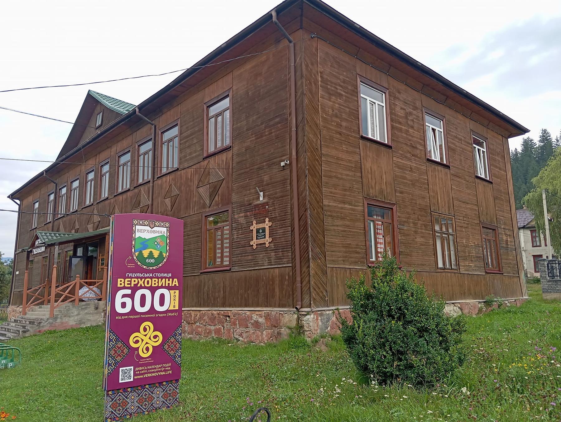
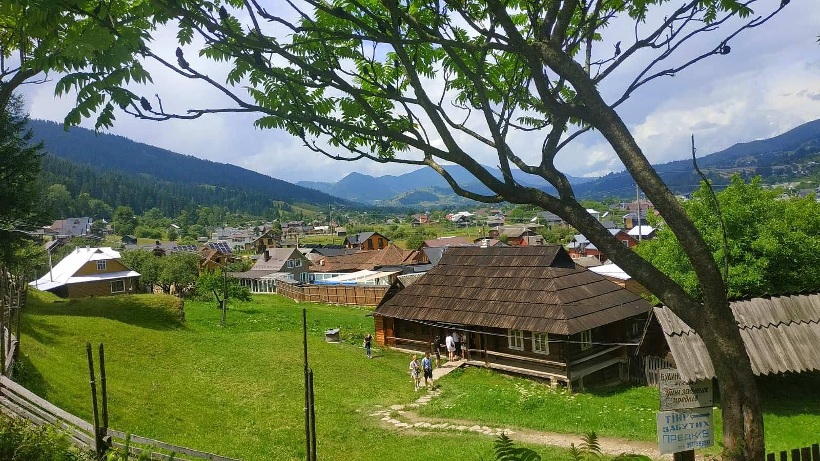
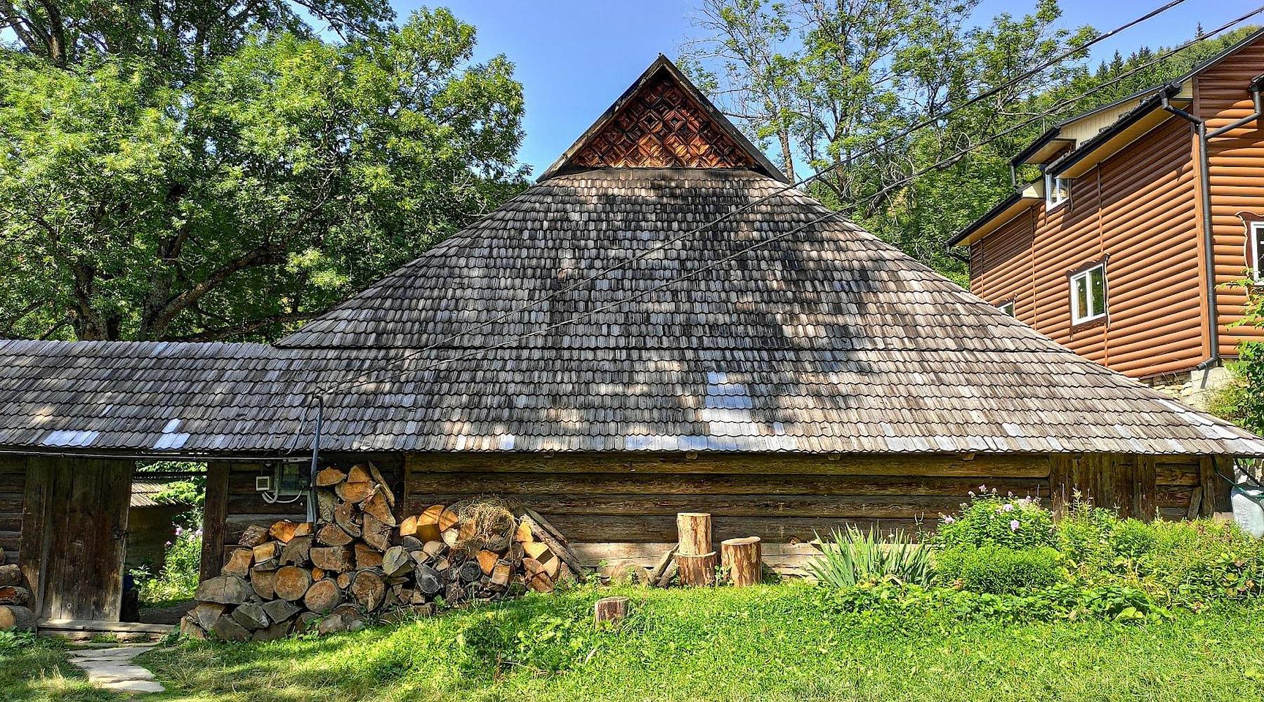
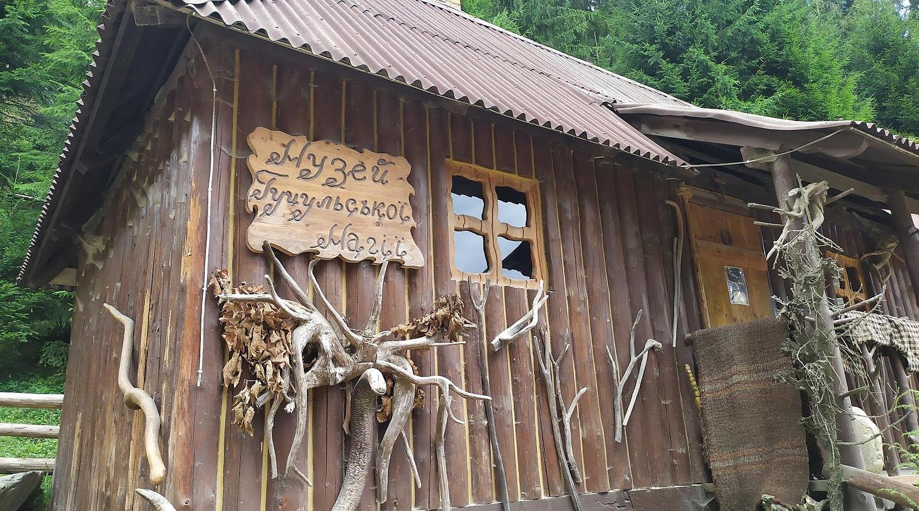
The Museum of Hutsulshchyna, further along the same street, is the systematic one: dress, tools, periodicals in the Hutsul dialect, a fragment of meteorite from the Bystrets river, and a pair of dolls in wedding costume sent home by emigrants from Zhabie who settled in London. The Shadows of Forgotten Ancestors house-museum covers the shoot itself; at Kryvorivnia there is a hrazhda, the closed-square Hutsul farmstead built for surviving a winter, by appointment only. The Museum of Hutsul Magic takes on the molfars and the pre-Christian layer: either the best hour of the trip or none of your business.
Up from the Cheremosh
The walking comes in clear grades. Mahurka is 2.7km and about three hours for a view over Chornohora. Bila Kobyla is the standard full day: roughly 16km and eight hours over Vipchynka, Pohar and Hrybkova. For a real trip, a three-day traverse of the highest Pokuttia–Bukovyna summits to Kryvopillia runs about 39km.
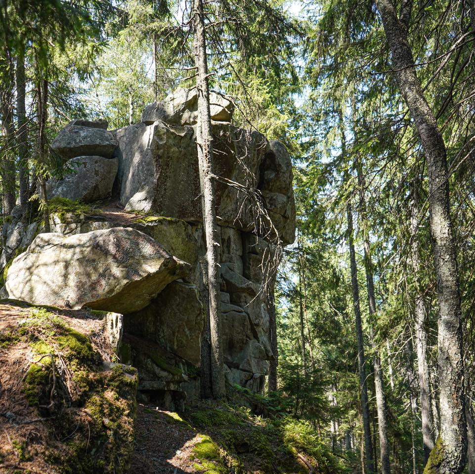
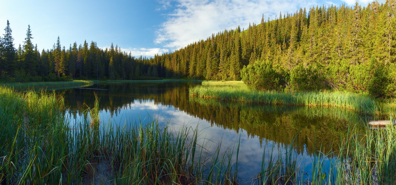
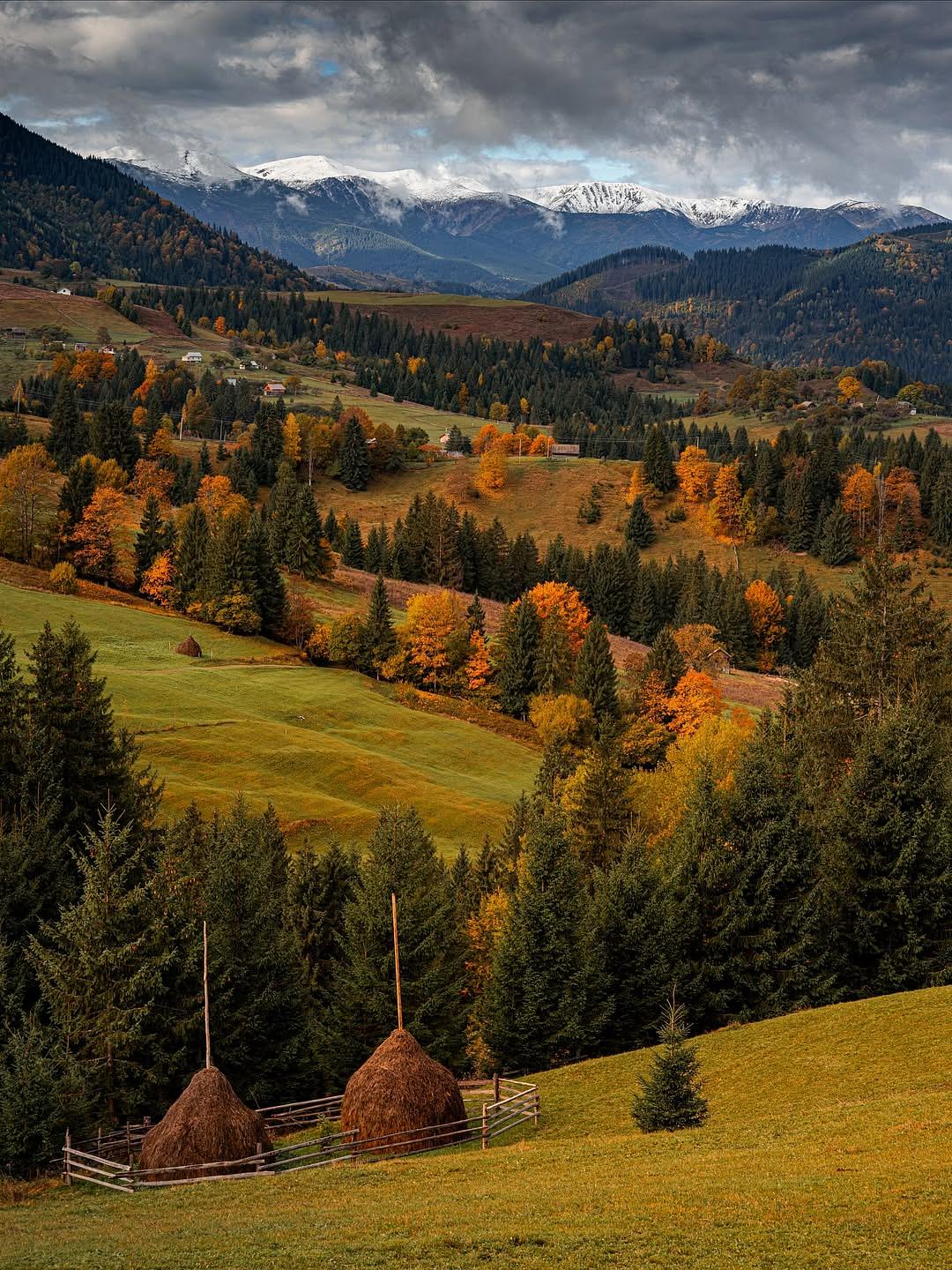
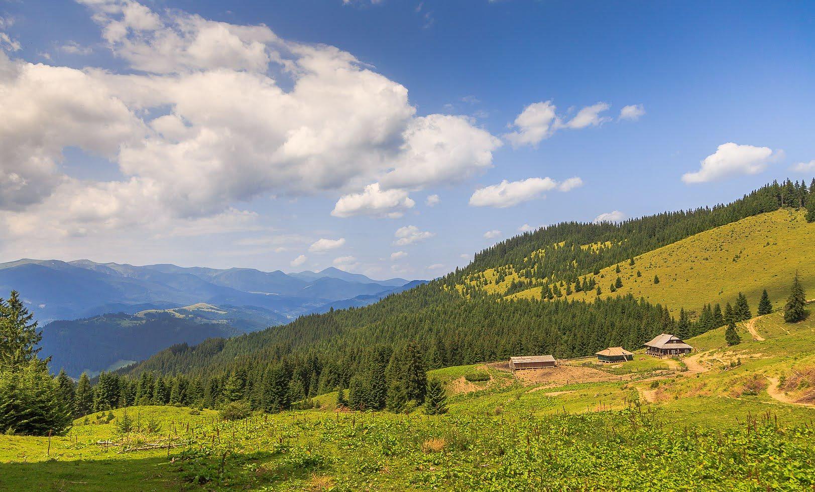
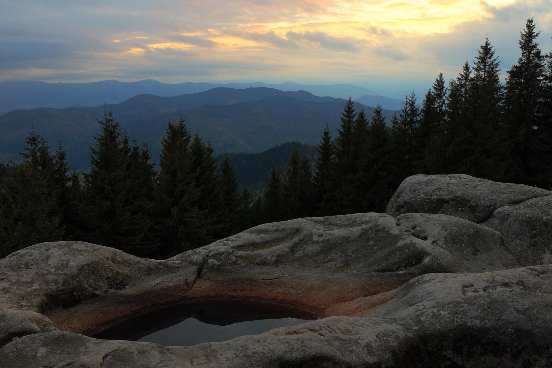
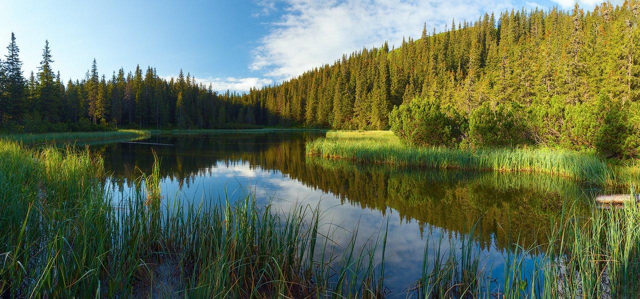
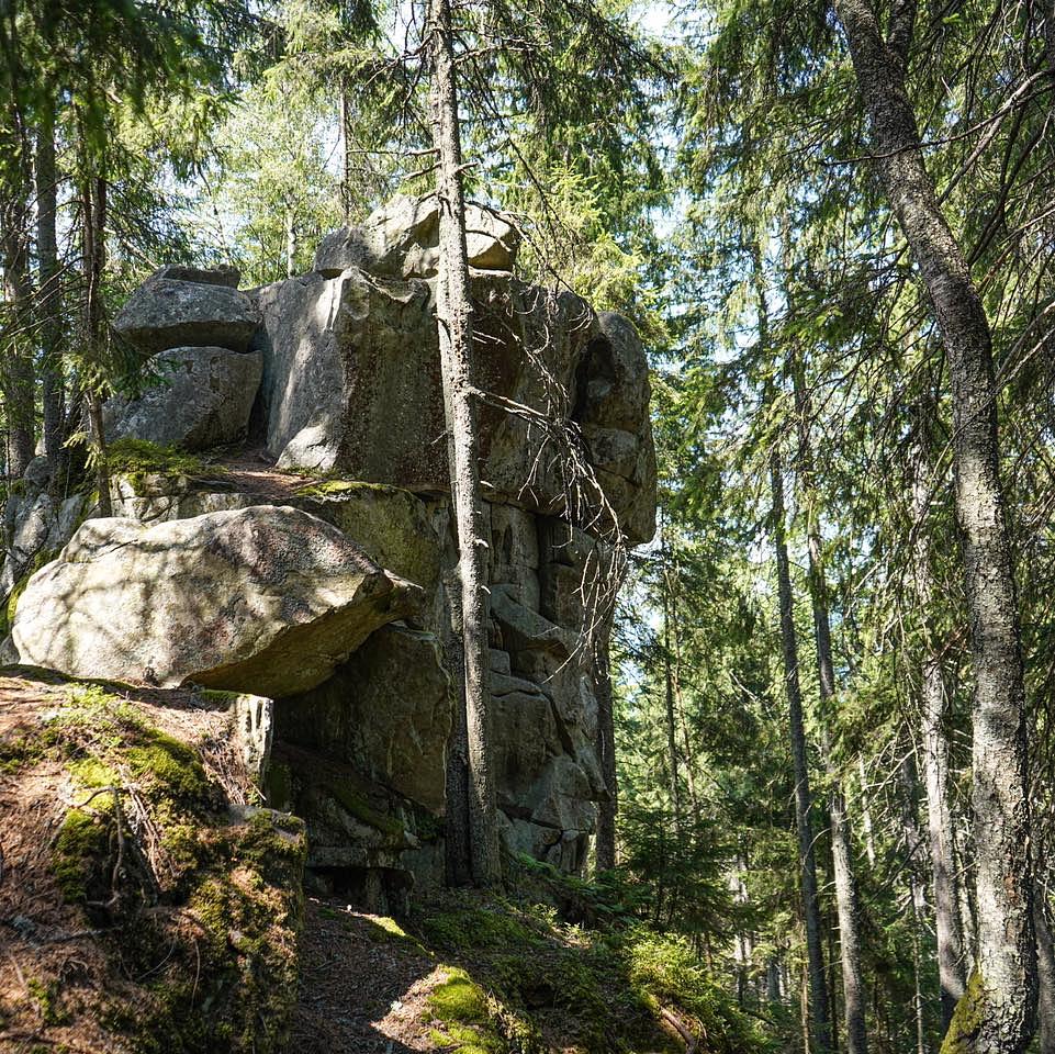
Polonyna Krynta, Krenta to the Hutsuls, sits at around 1,300m, and from May to October herders are up there making budz, vurda and brynza. Most people go by jeep part-way, walk the rest and taste as they go. Pysanyi Kamin, near Bukovets, is a group of rock blocks carved with crosses, signs and inscriptions, read as a pagan sanctuary. Lake Marichyka lies at 1,510m in Chornohora, a spruce-ringed pool 88m long; Dovbush’s Storerooms on the Synytsia massif is a deep cleft between two rocks with a cave beneath.
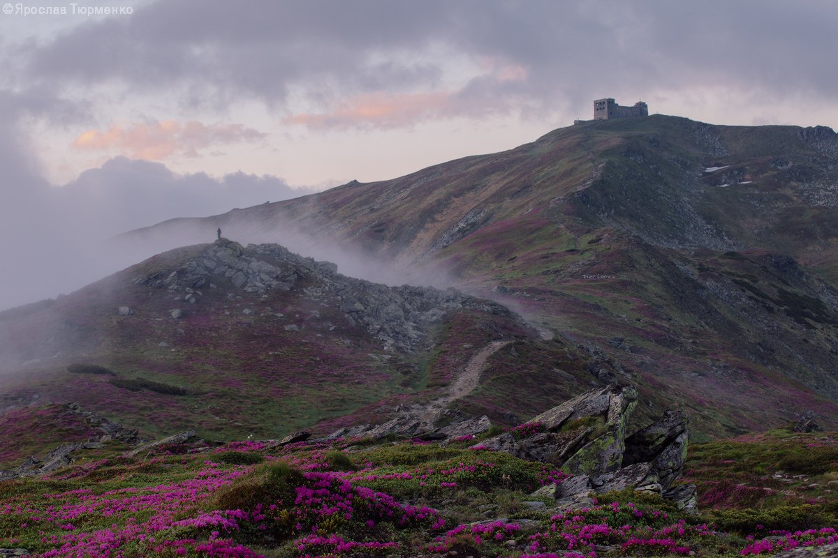
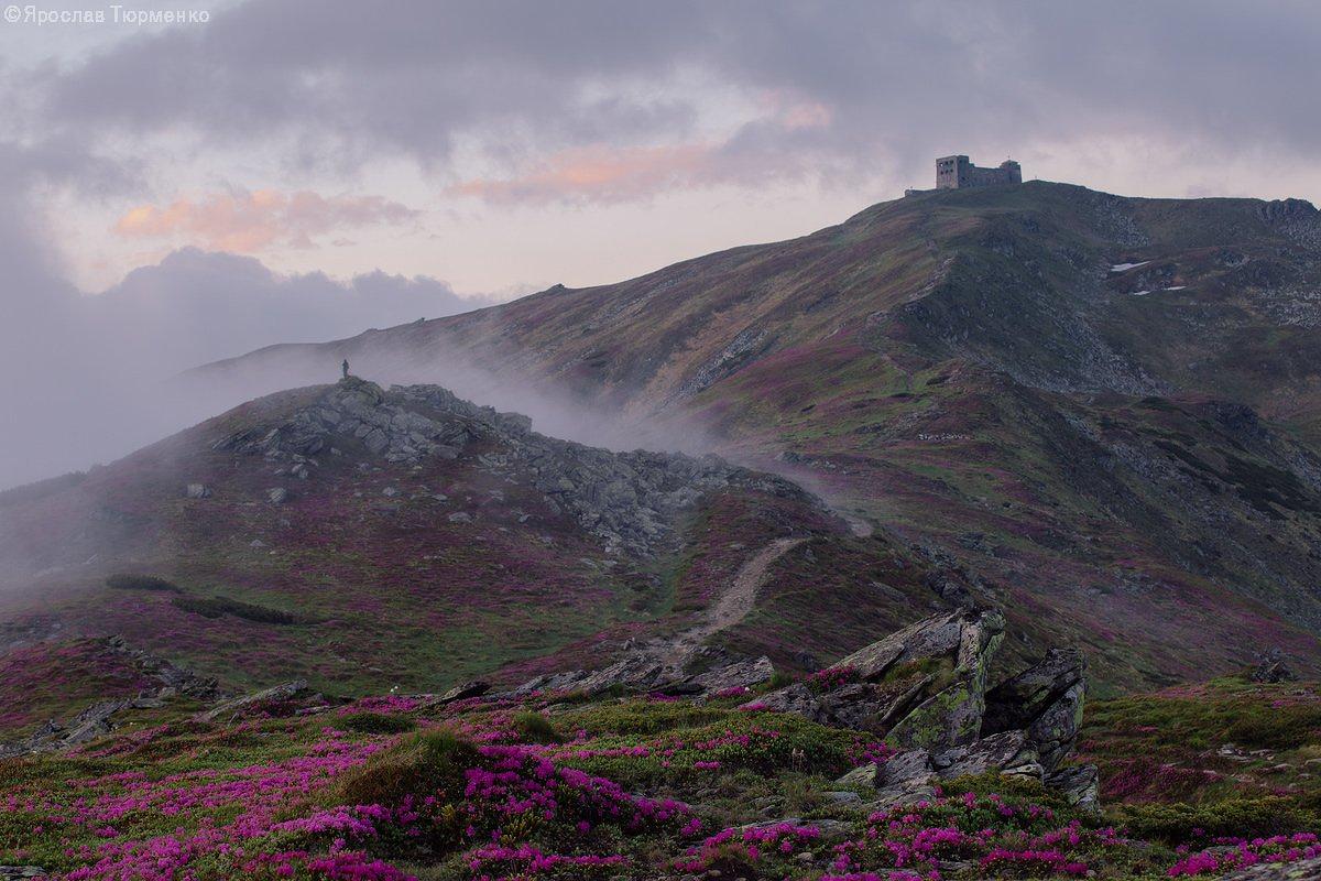
The big one is Pip Ivan Chornohirskyi, 2,028m, and the ruin on its summit. The observatory opened in the summer of 1938, when this range was in Poland: dozens of rooms, its own road, heating and water so it could run through the winter. The nickname came later, from what snow and ice made of its shape — the White Elephant.
Before you plan a summit: the border
Chornohora runs along the state frontier, and its approaches sit inside the controlled border strip. Under martial law the peaks along it, Pip Ivan included, need written or electronic permission from the State Border Guard Service; routes through Iltsi, Krasnyk, Dzembronia and Bystrets go through the 31st detachment, a 2024 order brought standing restrictions on Dzembronia, and a permit can take up to ten days. Confirm your route is open before you book a bed, and do not drive to Dzembronia meaning to sort it out at the trailhead — a border-regime protocol and a fine is the usual result.
Water, snow, and the road that filters people out
The Chornyi Cheremosh is among Ukraine’s best-known whitewater rivers, and Verkhovyna is one of the places it is run from; the spring melt is the serious water. In winter the village skis modestly, on purpose: a 320m drag on Mt Pushkar at the eastern edge, two runs of about 400m with a little over 70m of vertical, the left-hand one wider and the usual first-morning choice. Bukovel and Drahobrat are drivable if that is not enough.
There is no station. Take a train to Vorokhta, about 30km off, then a bus or taxi; buses run from Ivano-Frankivsk, and by car it is Nadvirna, Yaremche, Vorokhta and on. That last awkward hour is doing you a favour — it is why Verkhovyna stayed quieter than the Prut valley. Three days is the right length: a mountain, a museum, an afternoon on the river. If you can choose the date, choose a feast — Christmas, Malanka, Epiphany — when the trembitas come out for reasons that have nothing to do with you.