No fish live in Apshynets, and the number that explains it is 3.3 — the lake's maximum depth in metres. It freezes right through in winter, bed included, so nothing that needs open water gets from one summer to the next. The full census runs to a handful of microscopic crustacean species, plus frogs along the shoreline once the snow goes.
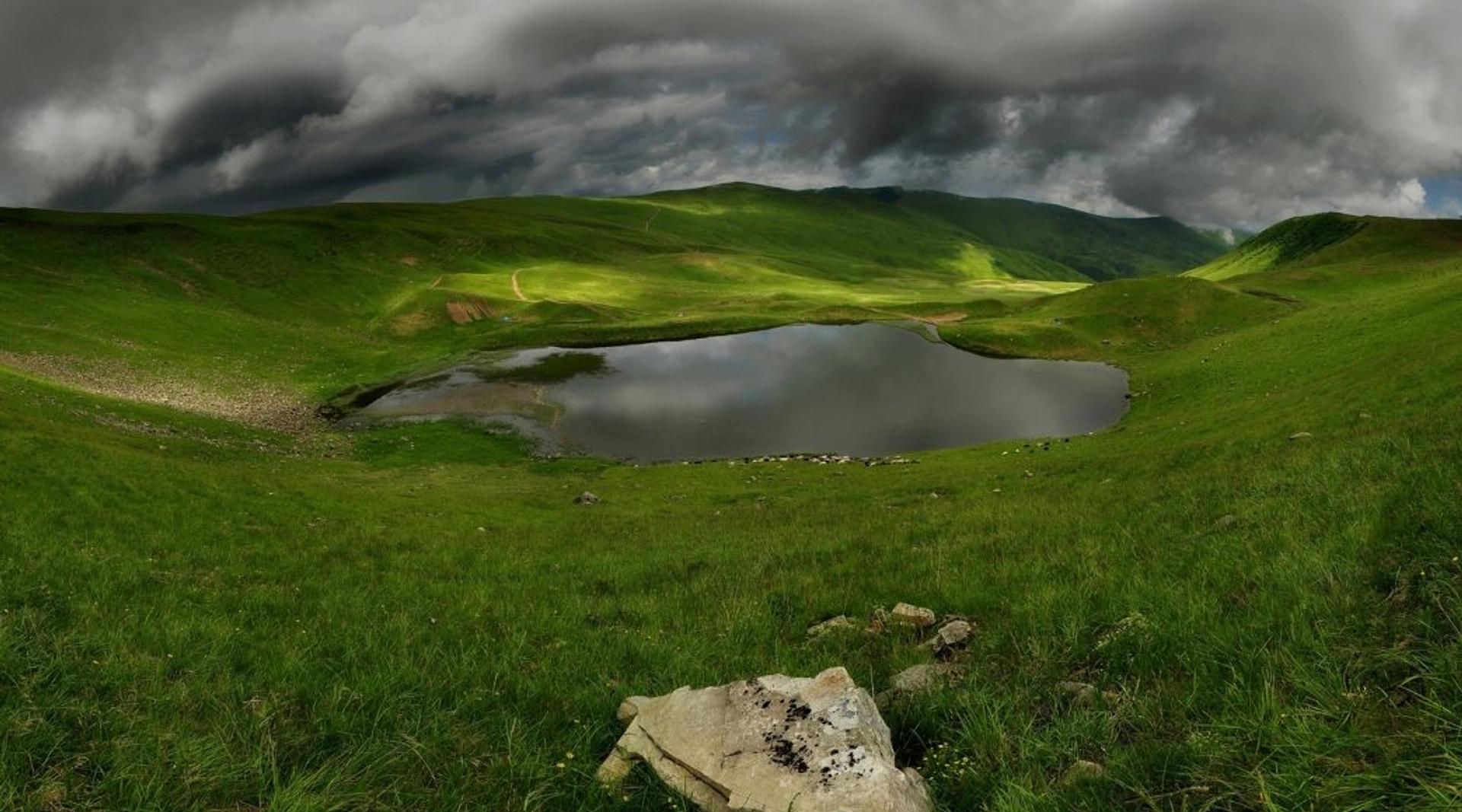
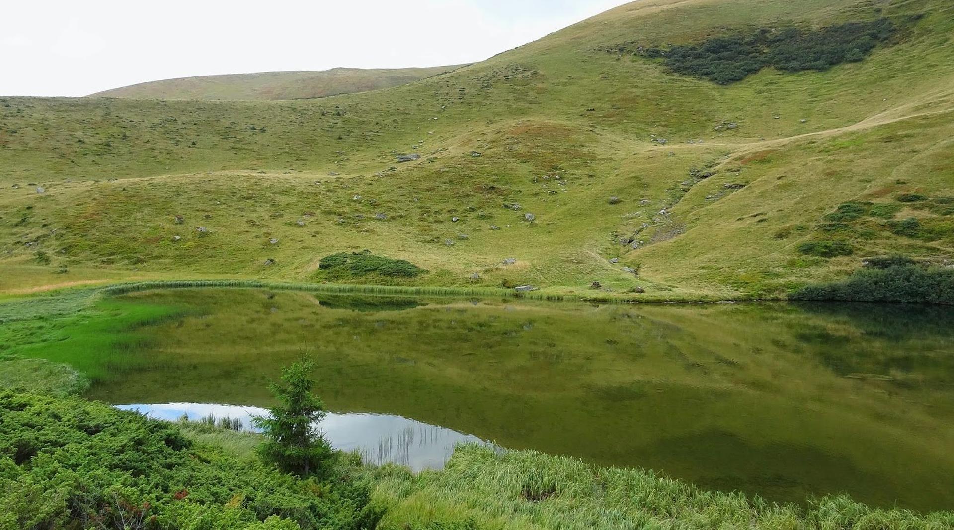
What is here instead is 1.2 ha of cold, clear water at 1,487 m, held in an elongated hollow behind a low moraine ridge on the north side of the main Svydovets crest, just east of Mt Troiaska. It runs 126 m long by about 100 wide, the bed is flat and silty with boulders around the rim, and in summer the water sits between 10 and 13 °C. One corner has gone over to sedge and sphagnum — a proper high bog, spongy underfoot, and the part of the shore to keep off.
The river that leaves
Among the Svydovets lakes this is the one with an outlet that has a name. The Apshynets stream drains the lake and drops about 7 km through a gorge, over rapids and a string of small waterfalls, before joining the Chorna Tysa as a right-bank tributary. Which means water standing at 1,487 m here reaches the Tysa and then the Danube. Another stream comes in from the west, so this is a through-flow lake rather than a puddle sitting on its own meltwater — part of why it stays clear.
You will also see it called Lake Troiaska, after the peak above it. Apshynets is the name on the maps and in the route descriptions, and Troiaska is worth the extra climb anyway: from its summit you look down on the lake as a shape rather than a shoreline, which is not a view you get from the water.
Protected since 1969, on paper
Apshynets has been a hydrological monument of local significance since a regional council decision of 18 November 1969, reconfirmed in February 1984, and it lies inside the Apshynets zakaznyk. On the ground that status amounts to a line in a register. There is no warden, no barrier, no bin, and nothing to stop anyone doing whatever they like to the bank. Whether it stays intact is settled by whoever pitched a tent here last night.
The one on this ridge you can sleep beside
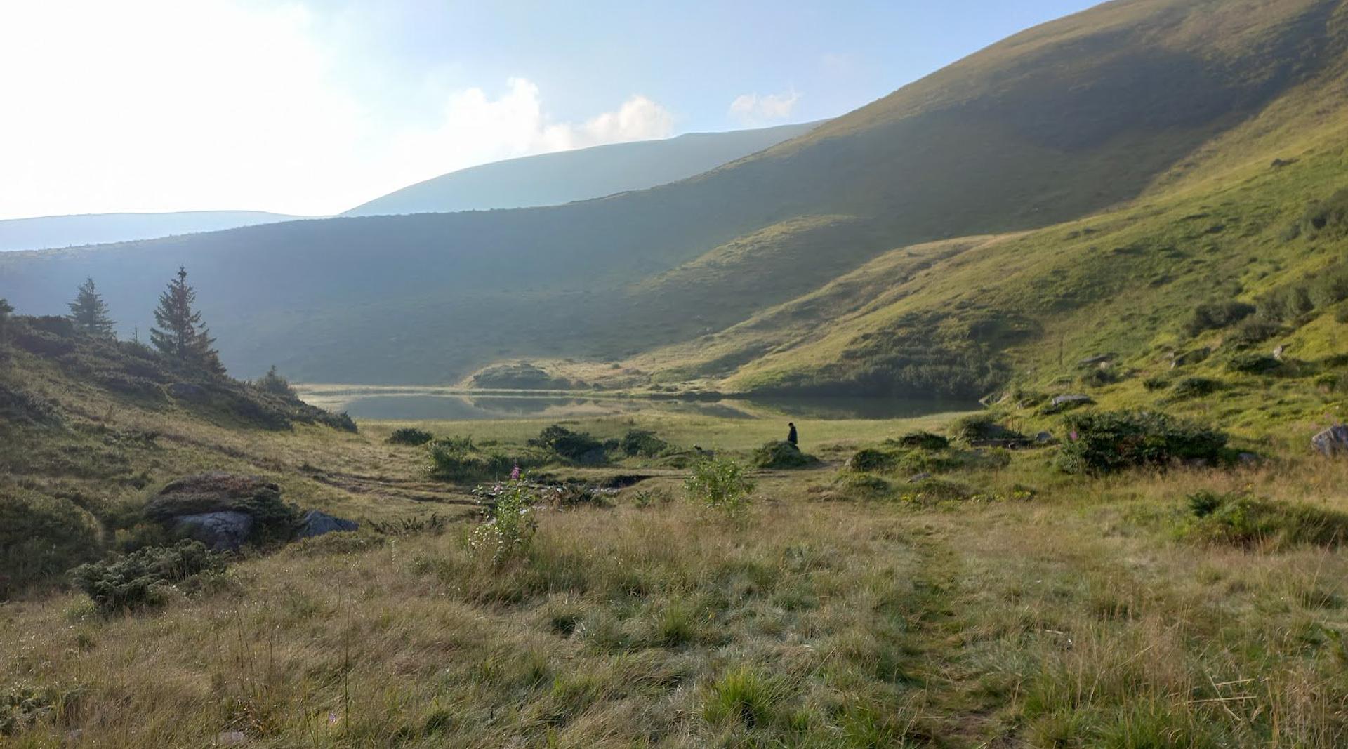
Apshynets turns up in multi-day itineraries more than the other Svydovets lakes, for a prosaic reason: there is tree cover within reach. Dohiaska and Vorozheska sit out on open polonyna where a windy night has nothing to break it; here you can drop off the crest and find something sheltered enough to make a night comfortable. Pitch back from the water, do your washing away from the lake, and stay off the bog.
Firewood is scarce and you should not be cutting anything, so bring a stove and gas. There is no reliable water source you should drink untreated, and no phone signal to speak of once you are off the ridge.
Two ways up, and how long each takes
The classic approach starts near Chorna Tysa at the Yasinia field station, climbs to polonyna Tatul, crosses Tatulskyi Hrun onto the Svydovets ridge and turns towards Mt Kotel before dropping to the lakes. It is the better walk, because the ridge arrives gradually instead of being handed to you off the back of a jeep — but it is a full mountain day with sustained ascent, and people doing it in one push without hill experience routinely underestimate it.
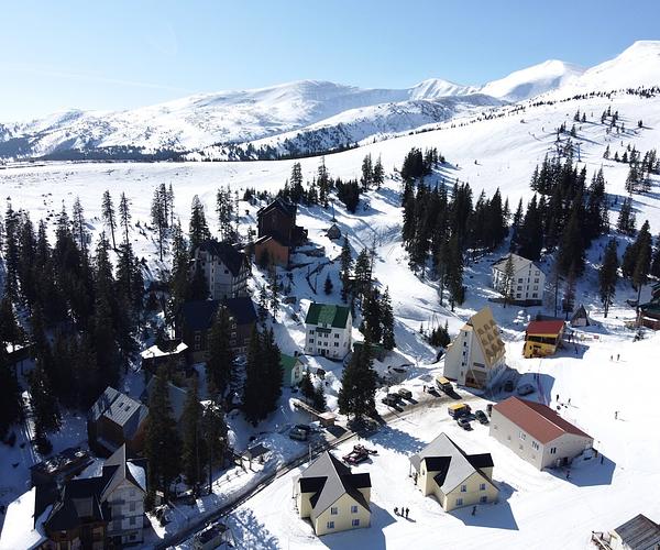
The other way starts at Drahobrat: 10.5 km, roughly four and a half hours, waymarked red because this stretch belongs to the Transcarpathian Trail, the longest marked route in the country. Drahobrat has beds, so plenty of walkers sleep at the resort and take the lakes as a day out. Four-wheel drives do move on this ground and will sometimes stop for you; build the day as though the whole distance is on foot and treat a lift as a bonus.
Why this one and not Dohiaska
Because there is nobody on it. Dohiaska and Ivor sit close to Drahobrat and absorb the resort's overflow; Apshynets is at the far end of the same ridge and asks for a longer commitment, which filters people more effectively than any regulation. Come here if what you want is an early morning by cold water with nothing else in the frame — and plan it as one stage of a two- or three-day traverse rather than a target to be reached and abandoned the same afternoon.