Bakota
Map: Bakota
Explore cities
Pick a city and start exploring places, food, and experiences.


Що подивитися на Бакоті - цікаві місця


Житло у Бакоті - готелі та садиби


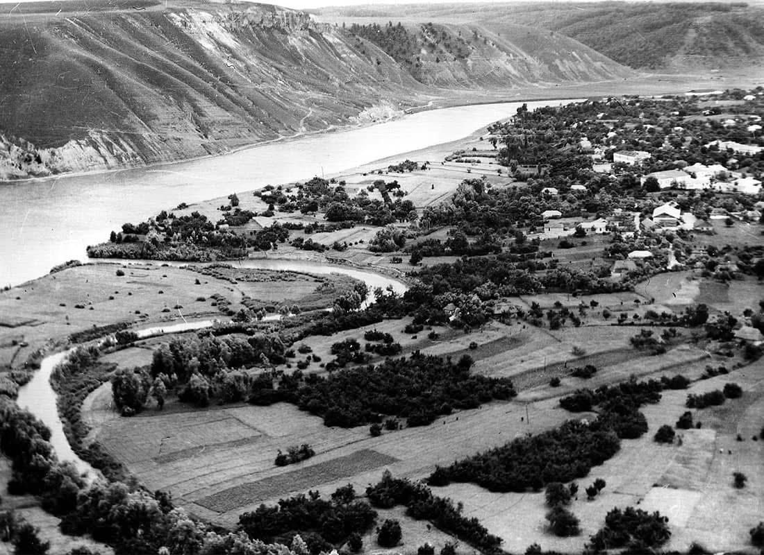
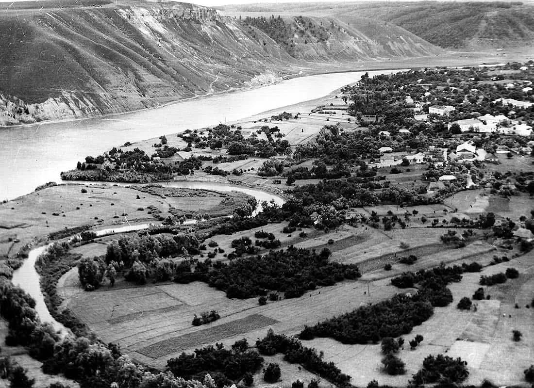
The last fifteen per cent of a family's resettlement payment was withheld until they had pulled down their own house and felled their own orchard. That was the arrangement along the Dnister in the late 1970s, and it is why nothing of Bakota was left standing to drown. The cut timber was burned, so that none of it could float loose and damage the new dam downstream.
The reservoir behind the Novodnistrovsk hydroelectric station took thirty-one settlements, twenty-one of them in Khmelnytskyi oblast, moved 7,486 households and put some 16,000 hectares of black earth under water. Bakota is the one everybody has heard of, because Bakota had the cliff. The village is gone. The limestone above it is not, and neither is the cave monastery cut into its face.
What the water covers
Bakota enters the written record in a chronicle of 1240, and not as a hamlet: it was the administrative centre of Ponyzzia, the lower Dnister lands of the Halych-Volhynian state. The Mongol invasion ended that. A castle stood here later under Lithuanian rule and was destroyed in the fifteenth century, leaving nothing above ground. After 1918 the village found itself on a state frontier, with Romania on the far bank, and lived under the restrictions that come with one. The famine of 1947 took more of it.
The end was administrative. A decree in 1972 put the valley inside the flood zone and gave people years to leave. The last of them gathered for Pokrova on 14 October 1980; the dam went into operation ten days later, and the water reached Bakota over the seasons that followed. Former residents and their children still come back on 14 August, once the village's pilgrimage day, and hold a service above the water.
The monastery in the cliff
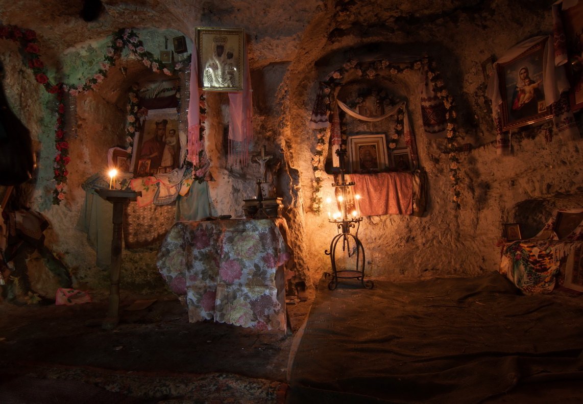
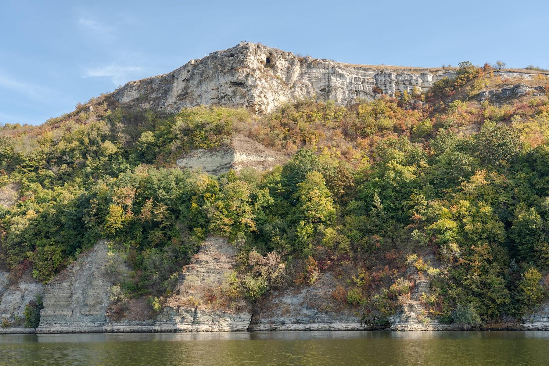
The rock monastery is cut into the flank of Bila Hora, and a Kyiv document of 1362 already calls it long-established. Volodymyr Antonovych excavated here in 1891–92 and found a shaft spiralling down through the rock to two small cells, the remains of a rock-cut church, burial niches, and Old Rus inscriptions recording the foundation of the place by a hegumen named Hryhorii and its dedication to St Michael. Most of what the expedition recovered was lost during the Soviet period.
What survives is a run of caves, ledges and cell-cuts on a steep path, with three springs below them; people leave small icons at the water. Bila Hora above it, twenty minutes further up, is the viewpoint in every photograph of the place. Both have their own entries here. Neither charges anything, and neither is supervised — the drops are real, and the path is loose in wet weather.
The bay, and how low it is this year
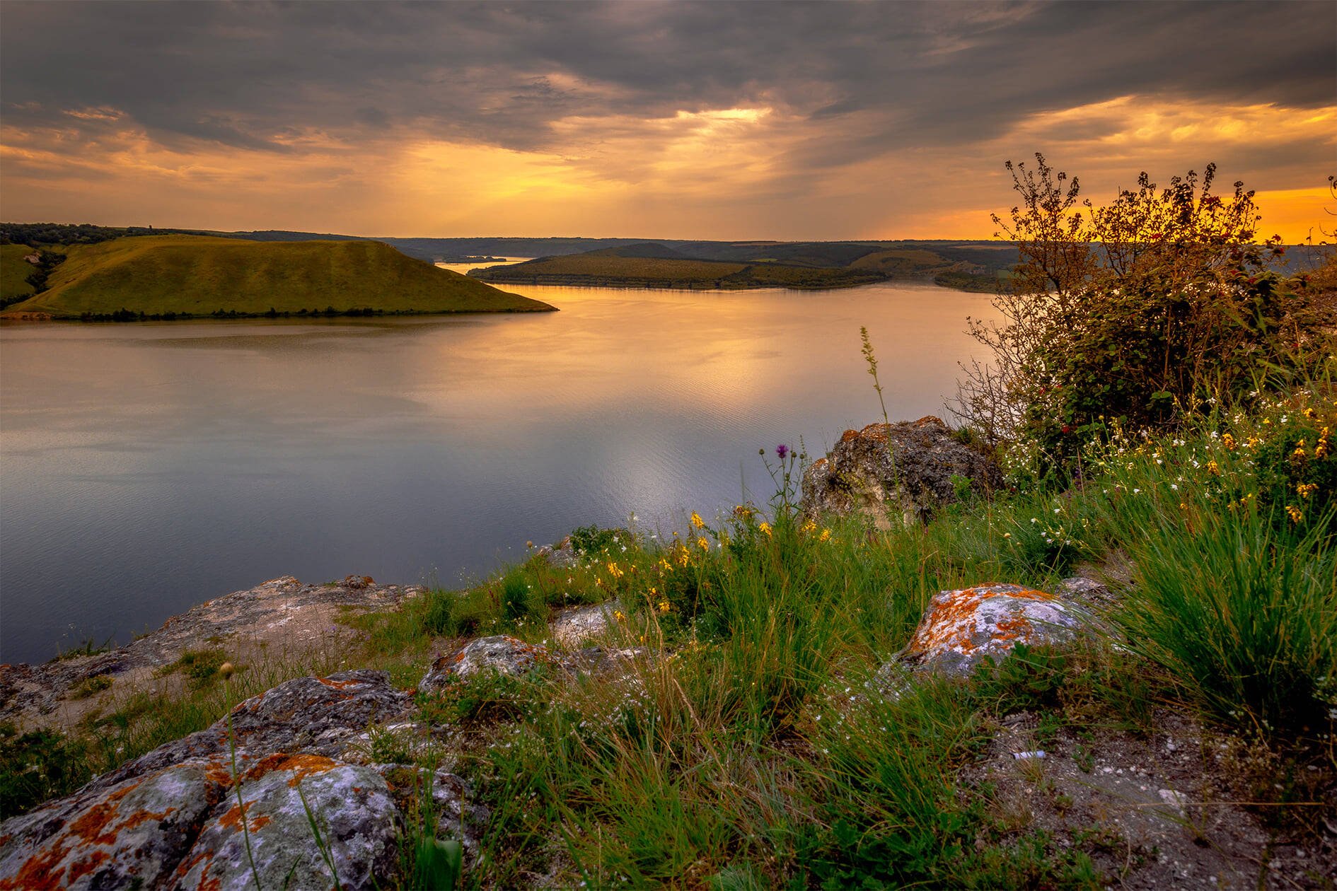
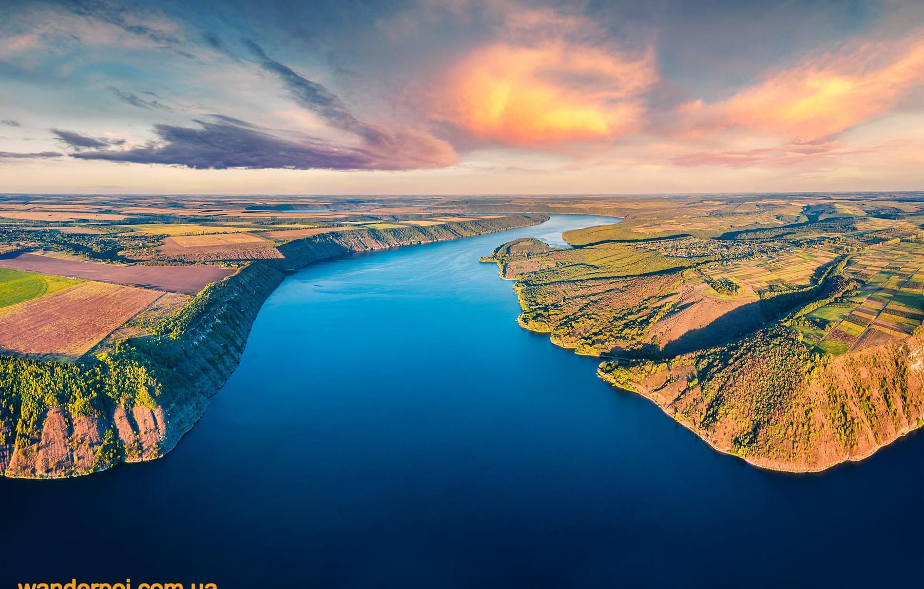
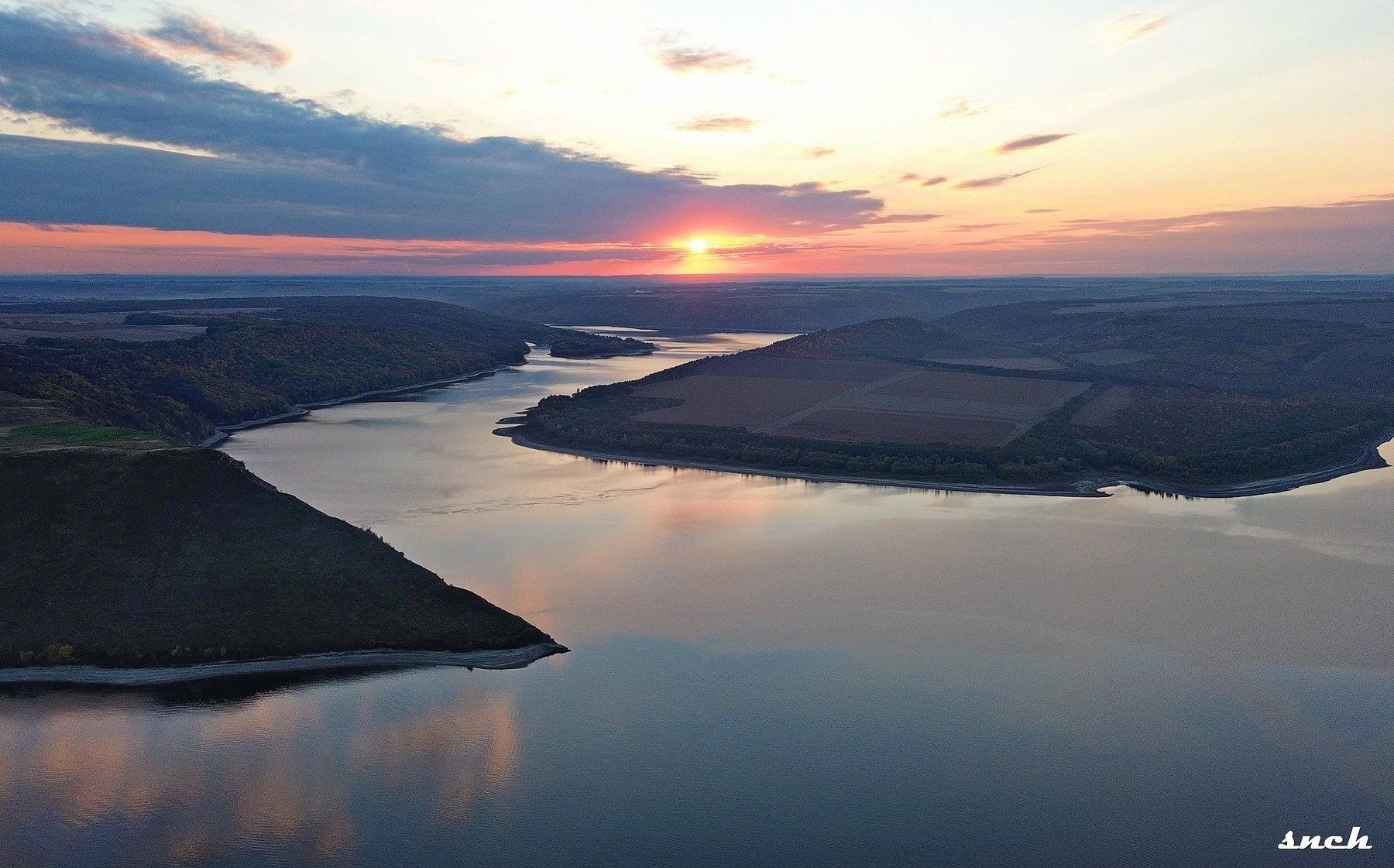
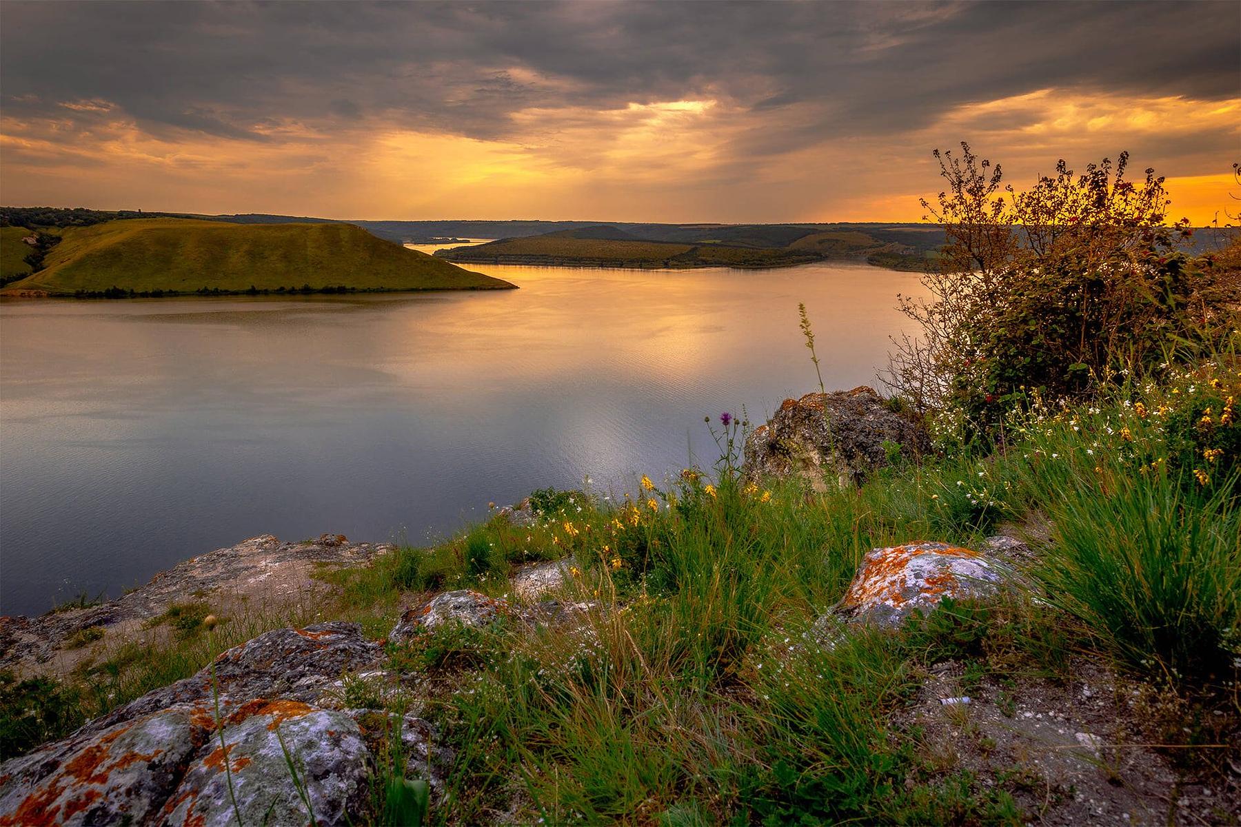
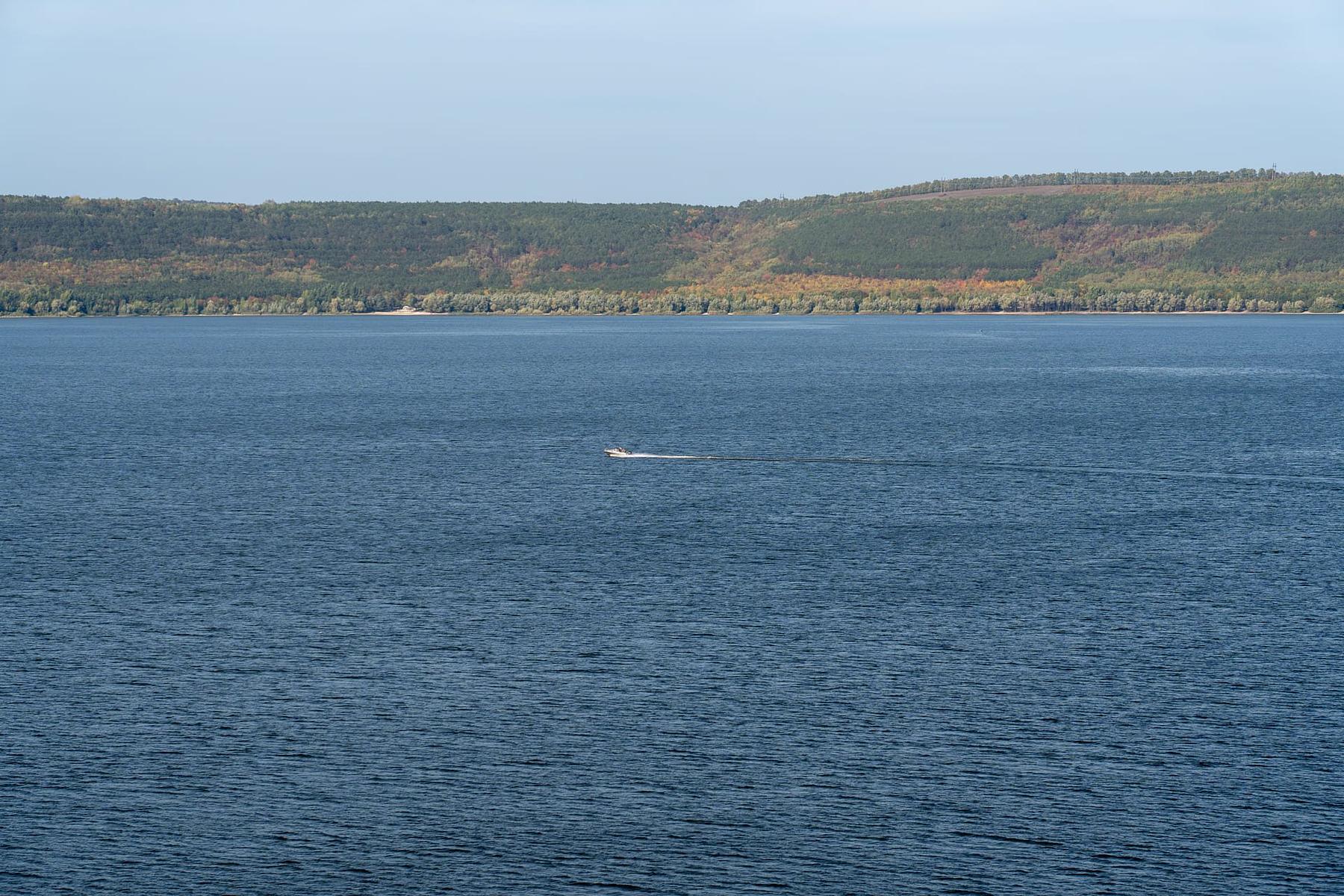
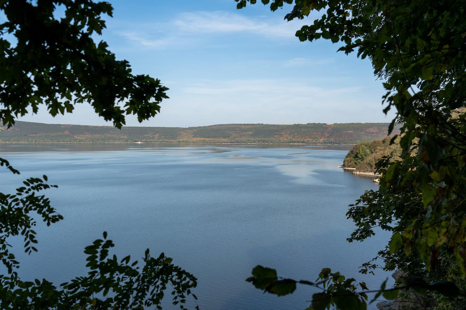
Bakota Bay warms early. Limestone walls and forest shelter it from the north, so the water is swimmable well before the rest of Podillia catches up, and the season brings boat trips, SUP hire, a dive outfit and paragliders working the slope above the monastery. Late summer can bring an algal bloom that ends the swimming for a while.
This year the problem runs the other way. Inflow to the Dnister reservoir in July 2026 was the lowest recorded since 1985, and stretches of it have drawn back toward the original riverbed; downstream at Korman in Bukovyna the retreating water uncovered a cemetery flooded in Soviet times, and remains had to be reburied. Check the state of the water before you build a trip around swimming.
Paths, and a night by the water
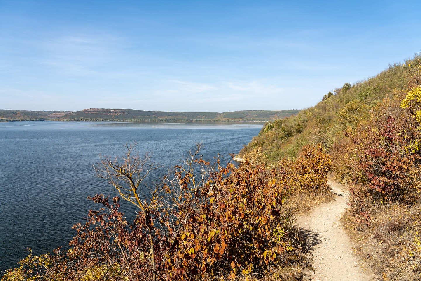
Three waymarked routes cross this corner of Podilski Tovtry national park. The long one is a 21.1 km cycle loop around the bay, starting at Horaivka, following the Dnister to the Bakota viewpoint, then running on through Malovana Hrushka to Mount Teremets. The short one is a 1.9 km circuit of Malovana Hrushka itself, past the Tokarzewski-Karaszewicz manor, an old well, the Charivna Khata ethno-museum and the painted house fronts the village takes its name from. Between them sits a 6.45 km clifftop walk from the Bakota viewpoint back toward Horaivka, high above the canyon the whole way.
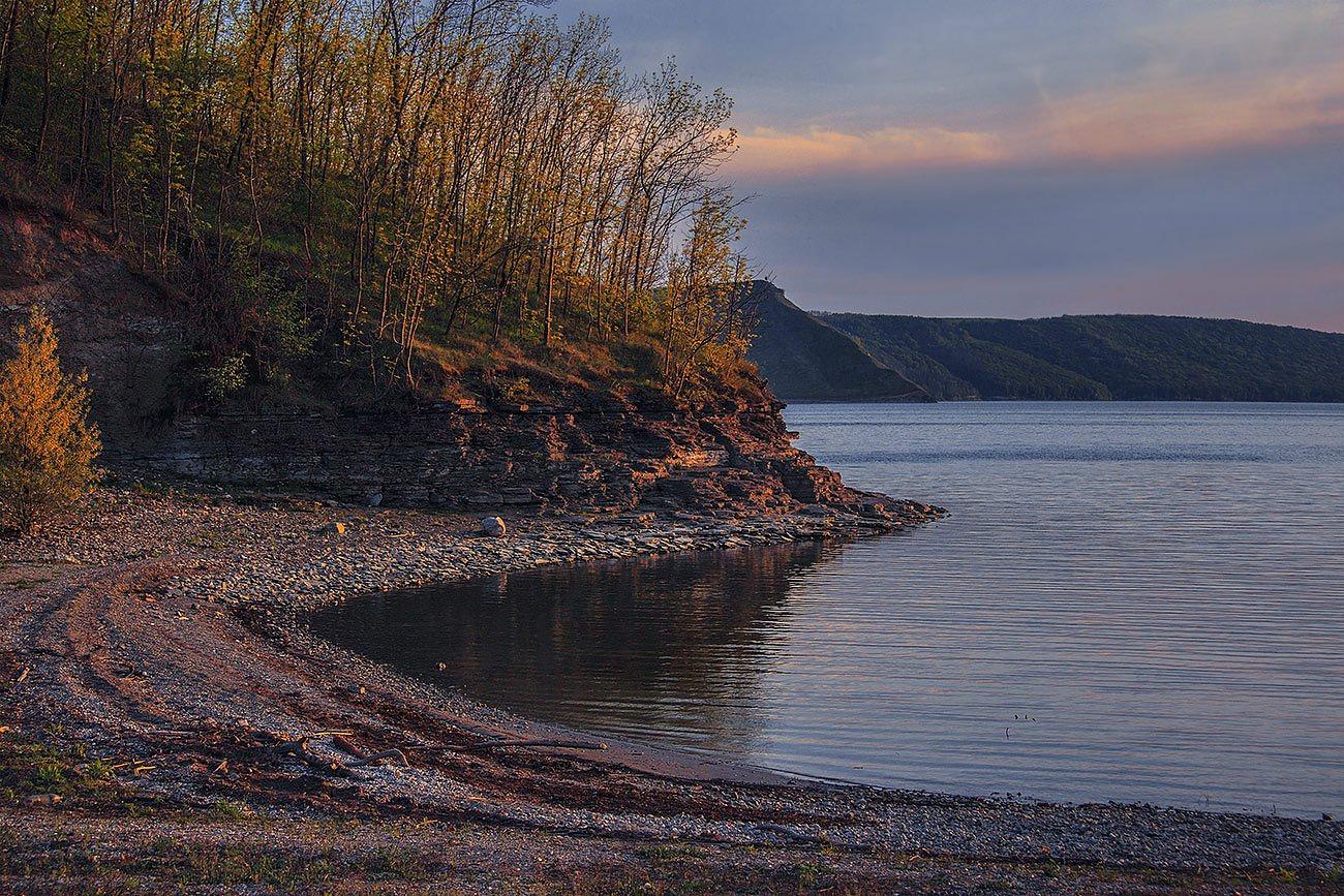
Camping by the bay is an old local habit, and the usual pitch is the ground near the long-closed children's camp, walkable from the monastery. There is no water beyond the springs, no toilets, no shop. Open fires are banned across the park — gas only — and whatever you carry in leaves with you.
Beds, and the road in
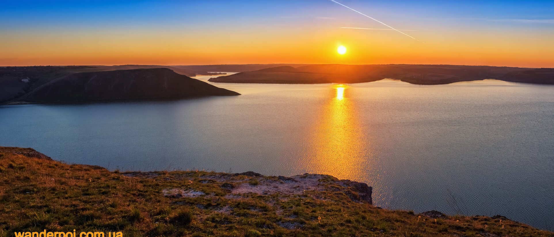
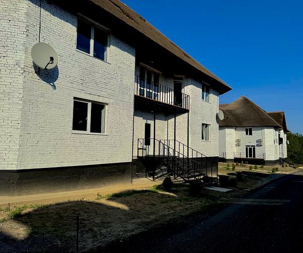
Almost nobody sleeps on the bay itself. The nearest rooms are in Stara Ushytsia, Kolodiivka and Kashtanivka, and most visitors base themselves in Kamianets-Podilskyi, an hour away, driving out for the day. That works, but it misses the case for the place: the last hour of light on the water is the whole argument for staying the night.
Drive from Kamianets-Podilskyi toward Stara Ushytsia. The turning is between Hrushka and Stara Ushytsia, and the final three kilometres to the viewpoint are partly unsurfaced and bad after rain. There is parking at the top, no entrance fee, and mobile signal that improves with height. Buses run as far as the turn-off and it is a long walk from there. Set the navigation carefully — there is a second Bakota in Ternopil oblast, and people do end up at it. Within a day's driving: the fortress at Kamianets-Podilskyi, Khotyn across the Dnister, the wider canyon, and the three-level gypsum cave at Atlantyda.