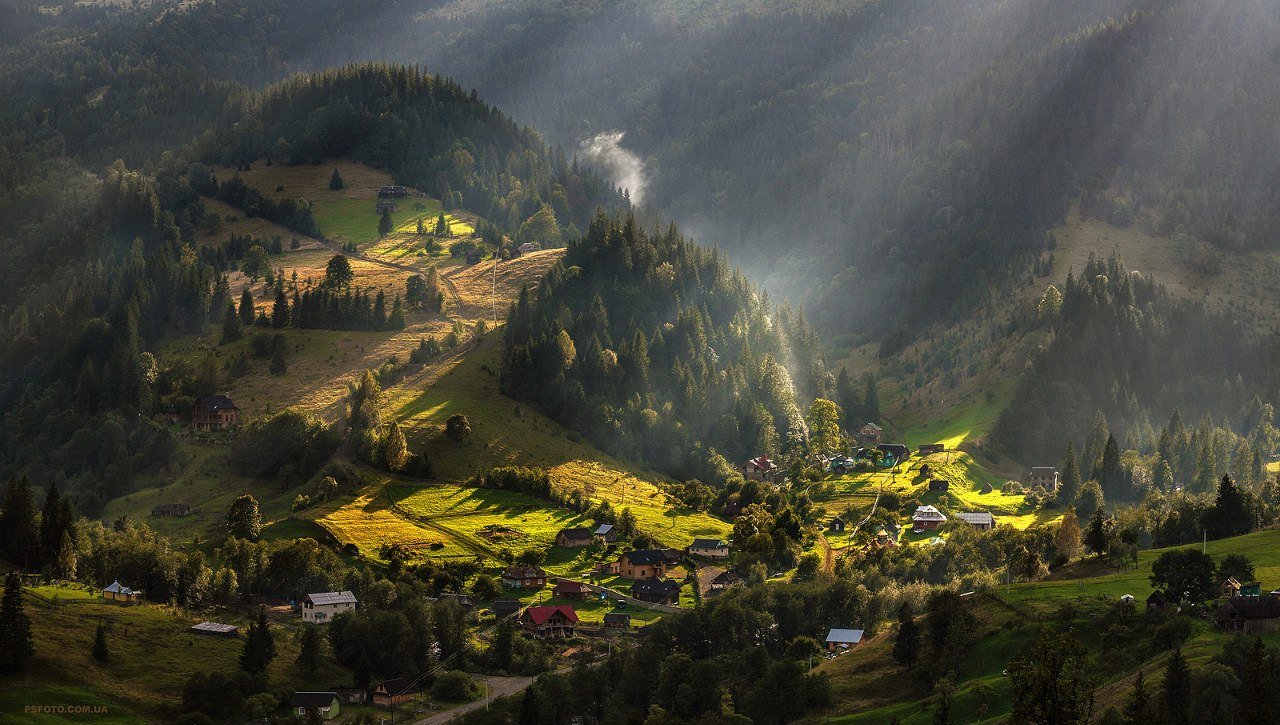
Dzembronia
Map: Dzembronia
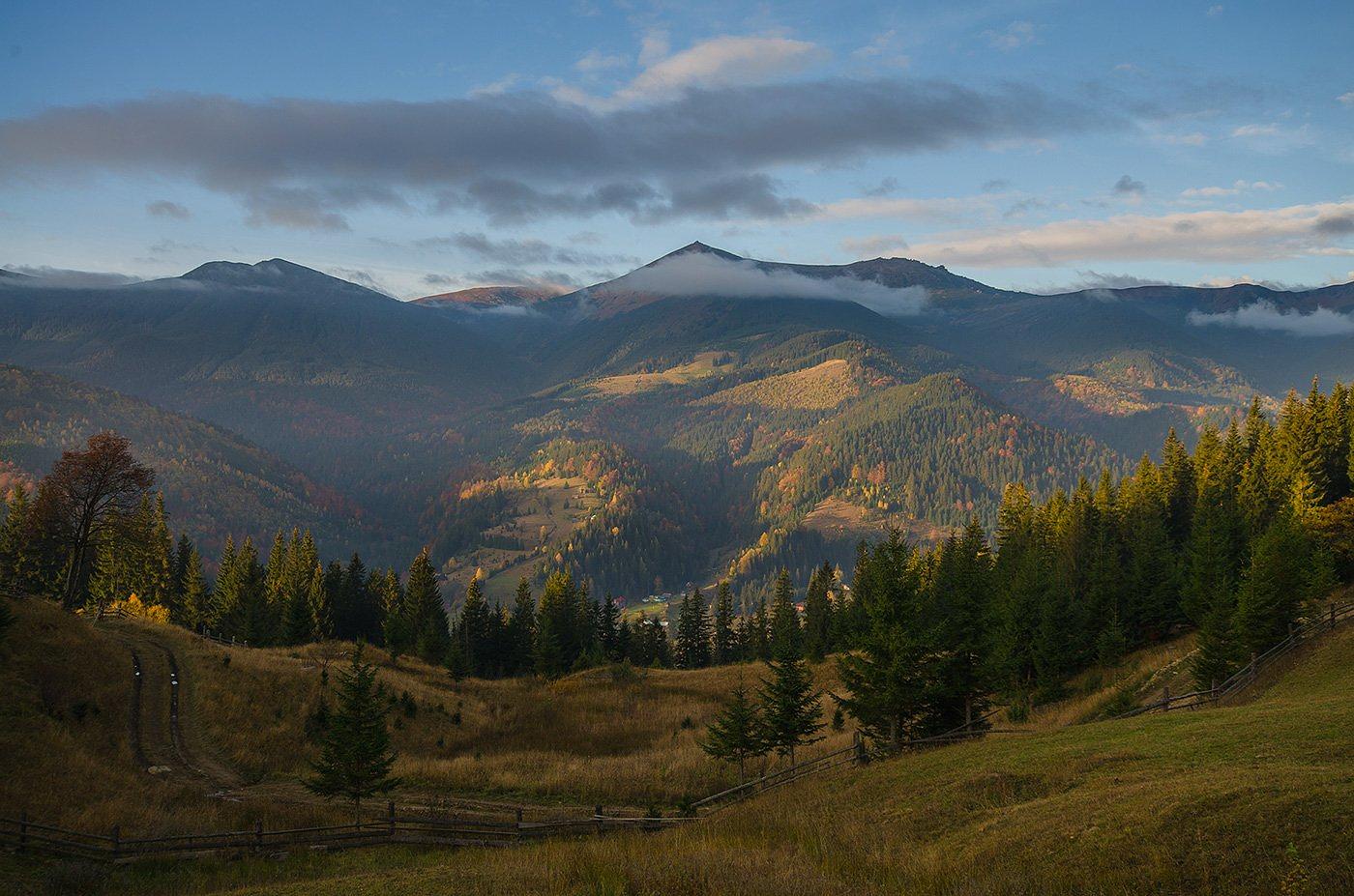
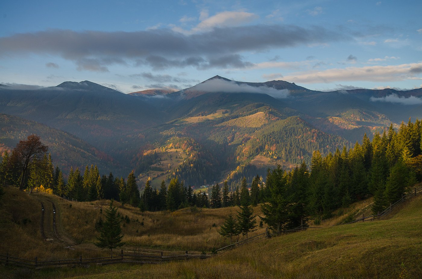
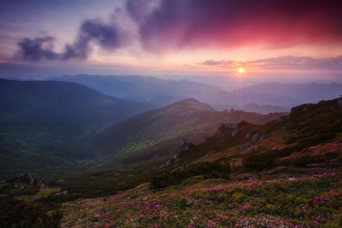
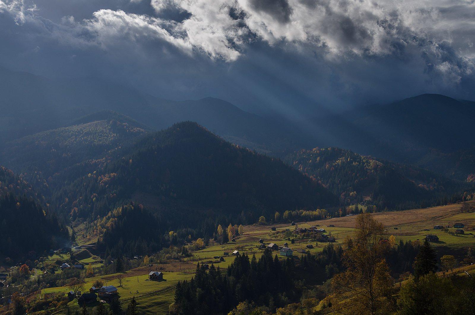
The three mountains above Dzembronia — Pip Ivan, Smotrych and Vukhatyi Kamin — are the original Chornohora. In Hutsul usage the Black Mountain meant those three and nothing else, and only later did the name run west along the whole ridge to Hoverla. The village underneath them, at around 900 m, is usually called the highest in Ukraine.
It also sits in the state border zone. Romania is over the top, and an order of 23 May 2024 closed more than twenty routes in the oblast to tourists, Pip Ivan and Vukhatyi Kamin among them. Nobody walks up from here on impulse now. Sort the paperwork before you watch the forecast.
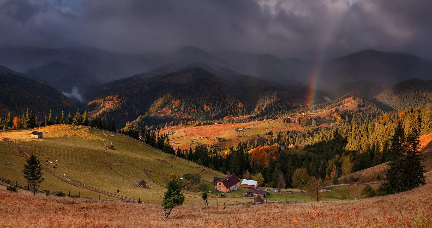
The last houses before the ridge
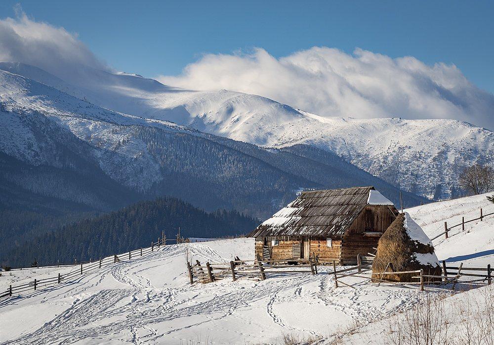
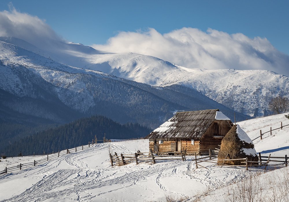
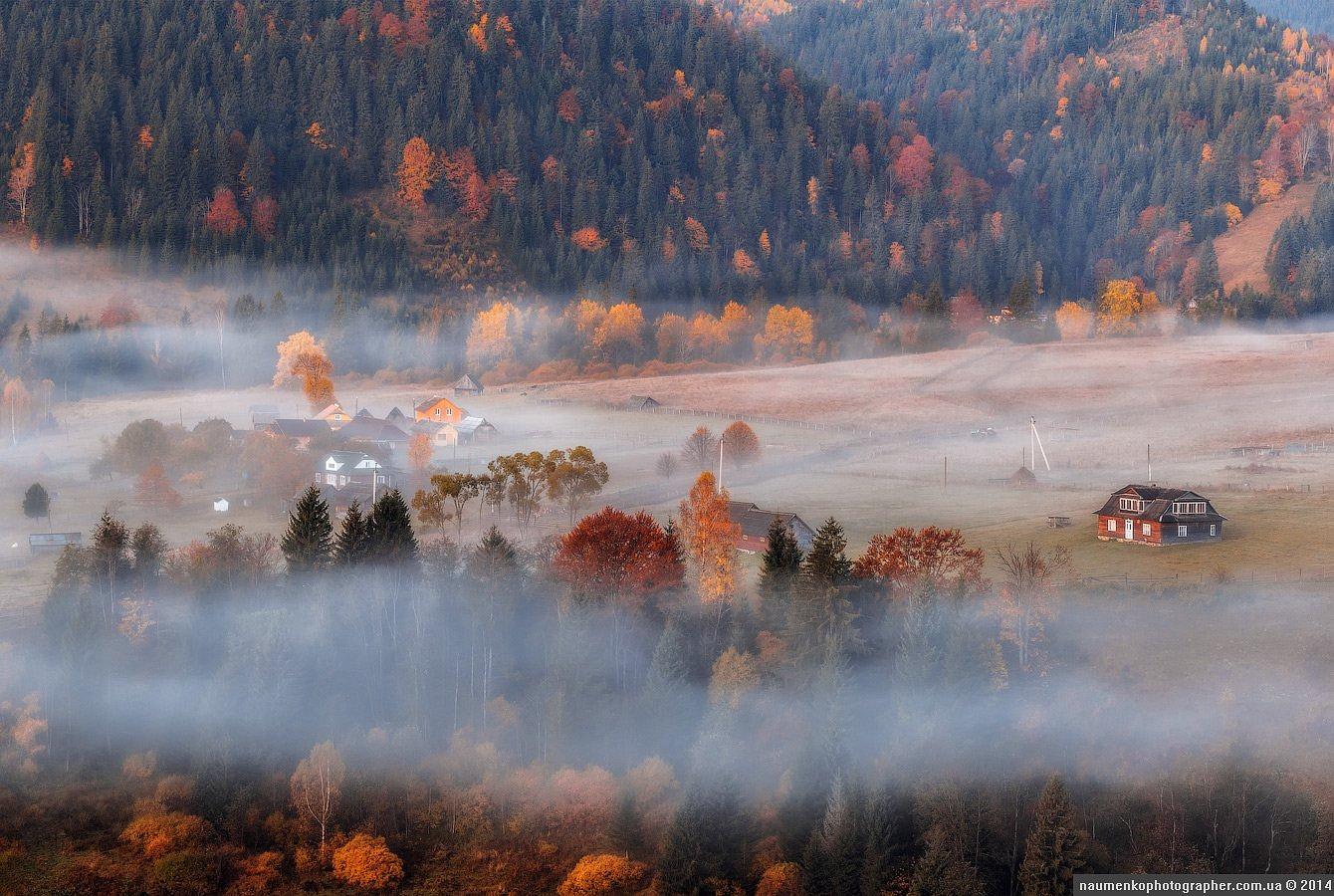
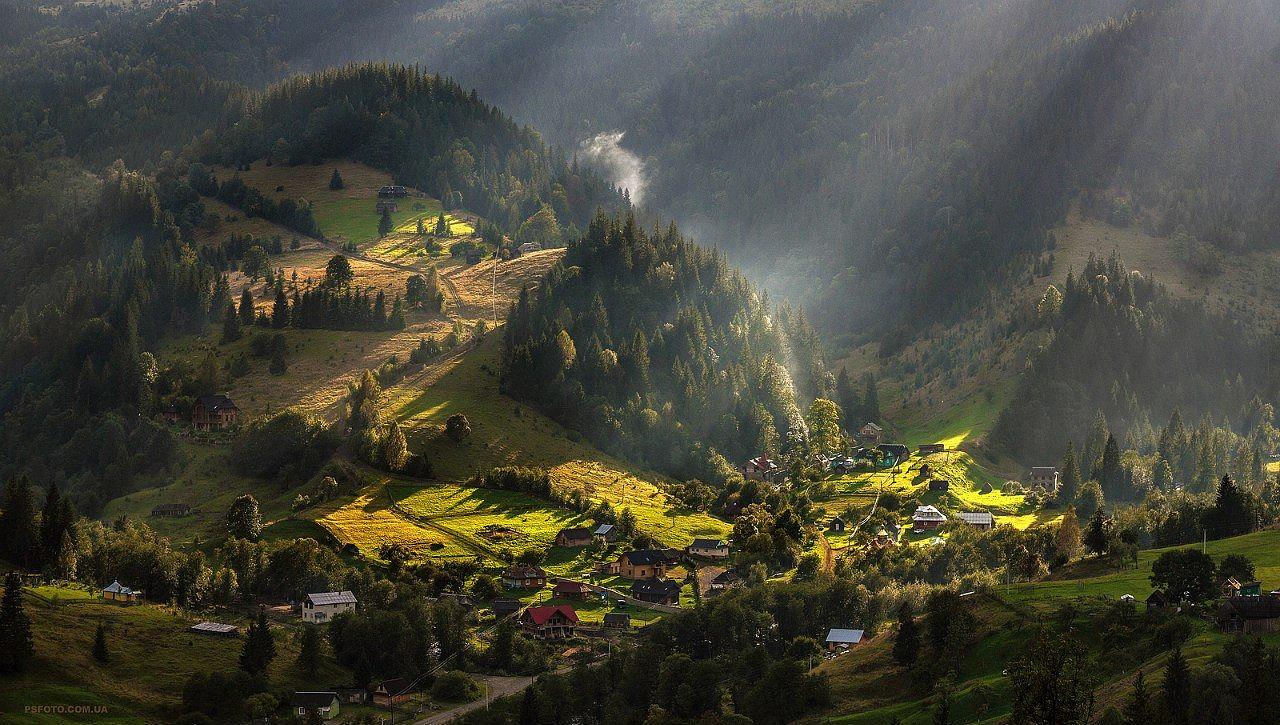
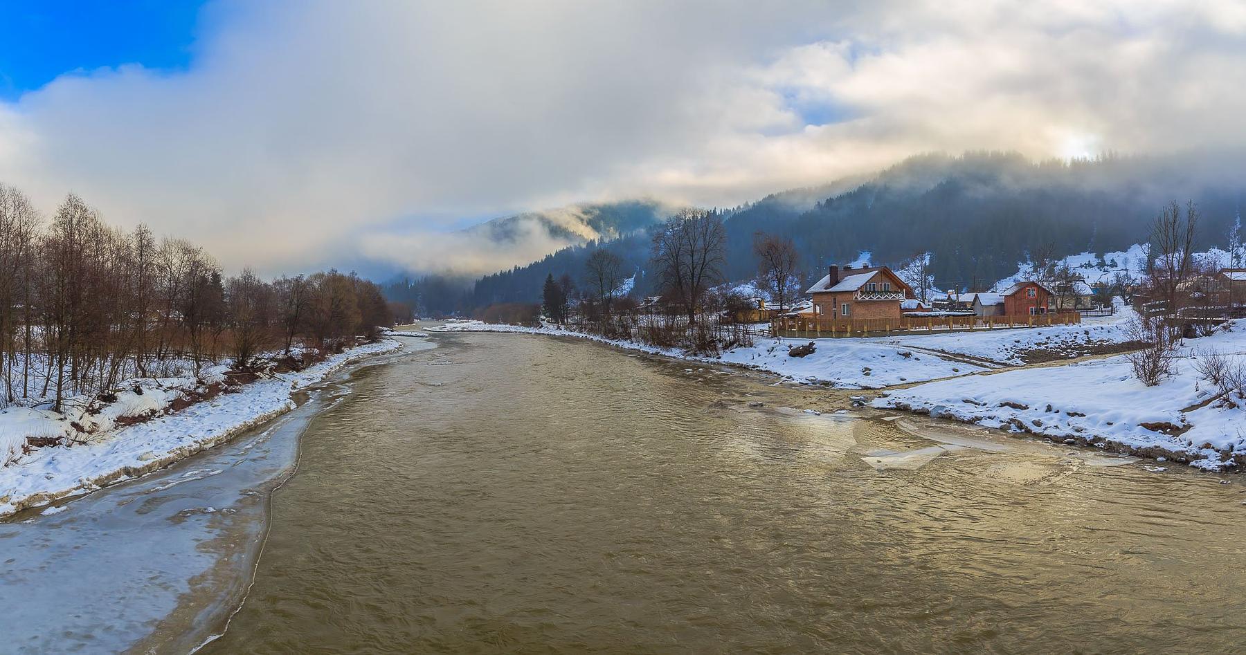
Two hundred and forty-five people live here, strung along ten kilometres of valley in the Zelena hromada of Verkhovyna district. There is no centre in the usual sense — no square, no row of hotels — only houses set back from the road, the stream, a school, two shops and mown slopes climbing on both sides. Bring cash: there is no ATM, and the nearest dependable one is in Verkhovyna, nineteen kilometres down the valley.
The place answered to another name for most of the last century: Soviet administration made it Berestechko on 7 June 1946, and the old one came back only on 4 June 2009, by act of parliament. Where Dzembronia itself comes from, nobody agrees — a Polish legend about a vanished woman named Bronia, a Hungarian word for a feast, or dzembry, the wisent that once ranged these forests.
White Elephant
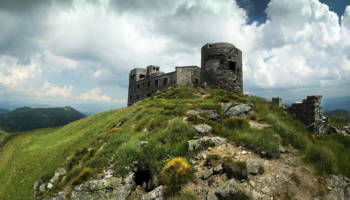
Pip Ivan Chornohirskyi tops out at 2,028 m, and what makes it the most photographed summit in Chornohora is the building on it. On 29 July 1938 the Polish Air Defence League opened an astronomical and meteorological observatory up there, named for Marshal Józef Piłsudski: dozens of rooms, its own heating and water, one of the highest scientific stations in Europe. It worked a single season before the war shut it. The nickname came afterwards, from the shape winter ice made of the walls.
It is not a ruin left to weather. Since 2011 the Vasyl Stefanyk Precarpathian National University has been restoring it with the University of Warsaw and Polish state money, and since 2017 a permanent mountain rescue post has operated inside — the people who would come for you in bad weather are already at 2,028 m.
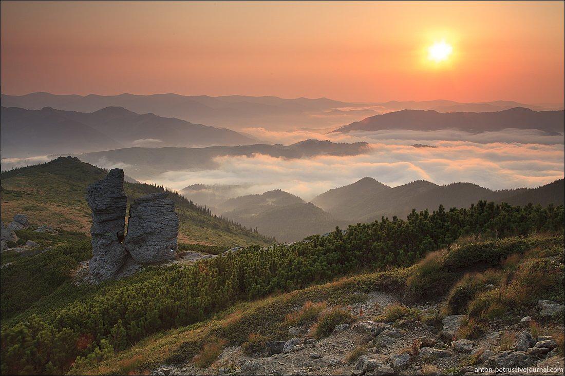
Vukhatyi Kamin, 1,864 m on a spur of Smotrych, is the other reason people leave the village on foot. Its summit rocks stand up in slabs that locals call the churches, and plenty of walkers get that far, sit down, and never bother with the ridge.
How the permission actually works
Dzembronia, Bystrets, Krasnyk and Iltsi all fall to the 31st Border Detachment, based in Chernivtsi and named after General Khorunzhyi Oleksandr Pilkevych; its stretch takes in the whole of Verkhovyna district. Applications for the Chornohora routes go to that unit, in writing, before you travel. Requests are decided within ten working days, so allow a fortnight rather than a week.
Replies do not always come back by email, so carry a printed copy of what you sent, and men of call-up age should have their military registration papers on them, because those get checked inside the zone. The standing rules hold on top of that: no approach within five kilometres of the border without permission, no lingering in the strip without a reason. What is open shifts from season to season. Ask the detachment, not a forum thread, and ask before you book a bed.
A hundred metres of water on the Munchel
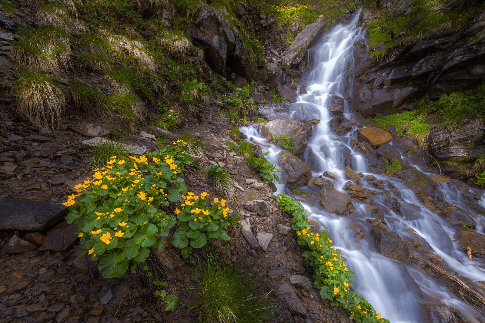
The Dzembronia Falls — Smotrytski on older maps — are not one drop but a run of fifteen to twenty of them down the Munchel stream, about a hundred metres of fall altogether, the biggest single step around ten. They lie five kilometres southwest of the village, and reaching them costs six to nine hundred metres of climbing on plai tracks and forest path: call it two hours up. It is the shortest serious walk from here. Smotrych is on the restricted list too, so ask about the falls when you ask about the tops.
The classic circuit strings the falls, Vukhatyi Kamin, Pip Ivan and Smotrych into twenty-two to twenty-four kilometres and nine to eleven hours, passing the Molochna Khata dairy on the polonyna where the herdsman still makes budz by hand. The quieter alternative goes over Chufrova polonyna to Munchel, 1,998 m, and down to Bystrets.
The road up, and how long to give it
Everything comes through Verkhovyna, nineteen kilometres away and the transport hub for the district. On public transport, get there first from Ivano-Frankivsk, Yaremche or Vorokhta, then find a local bus, a transfer or a taxi for the last leg; the timetables are thin. By car it is the same road, the final stretch proper mountain surface — narrower, slower, passable in most vehicles, not one to hurry.
Beds are sadyby, small cottages, camping and rooms in people's houses: enough if you book ahead and not enough if you don't. Higher up, the Bily Slon base on polonyna Smotrych has dormitory places and a few rooms with their own bathroom. In spring, when the Chornyi Cheremosh is up, rafts put in at the village and run eight to ten kilometres down to Krasnyk.
Give it three days. One day out of Verkhovyna buys a drive and a view; it takes longer before the valley stops behaving like a trailhead and starts behaving like somewhere people live.